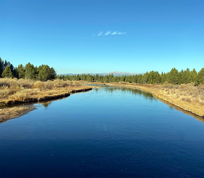
Part of a series of articles titled Water Resources Monitoring in the Madison River near West Yellowstone, Montana, 2021.
Article
Water Flow in the Madison River near West Yellowstone, Montana

NPS
The U.S. Geological Survey operates a gaging station (USGS Gage 06037500) on the Madison River near West Yellowstone, MT. The gage is located 4.5 miles (7 km) upstream from the Montana Highway 191 bridge crossing where our sampling occurs. This station has daily flow data dating back to 1913. A portion of the discharge record spanning from 1975 through 1983 is missing.
The hydrograph for the Madison River monitoring site is characteristic of a groundwater-fed system (Gardner et al. 2010). The long-term average of annual peak flows between 1924 and 2020 is 1311 cfs occurring on 24 May (day 144 of the year). Minimum annual daily flows over this same period of record averaged 335 cfs. Daily flows in the Madison River in 2021 were lower than the long-term (1924–2020) average flows for the site. Peak flow was 889 cfs and occurred on 24 May (day 144 of the year). Minimum daily flow was recorded at 326 cfs on 17 September (day 260 of the year).

NPS
Last updated: January 12, 2023
