Last updated: September 24, 2021
Article
Lewis Wants to Explore the Route to Santa Fe

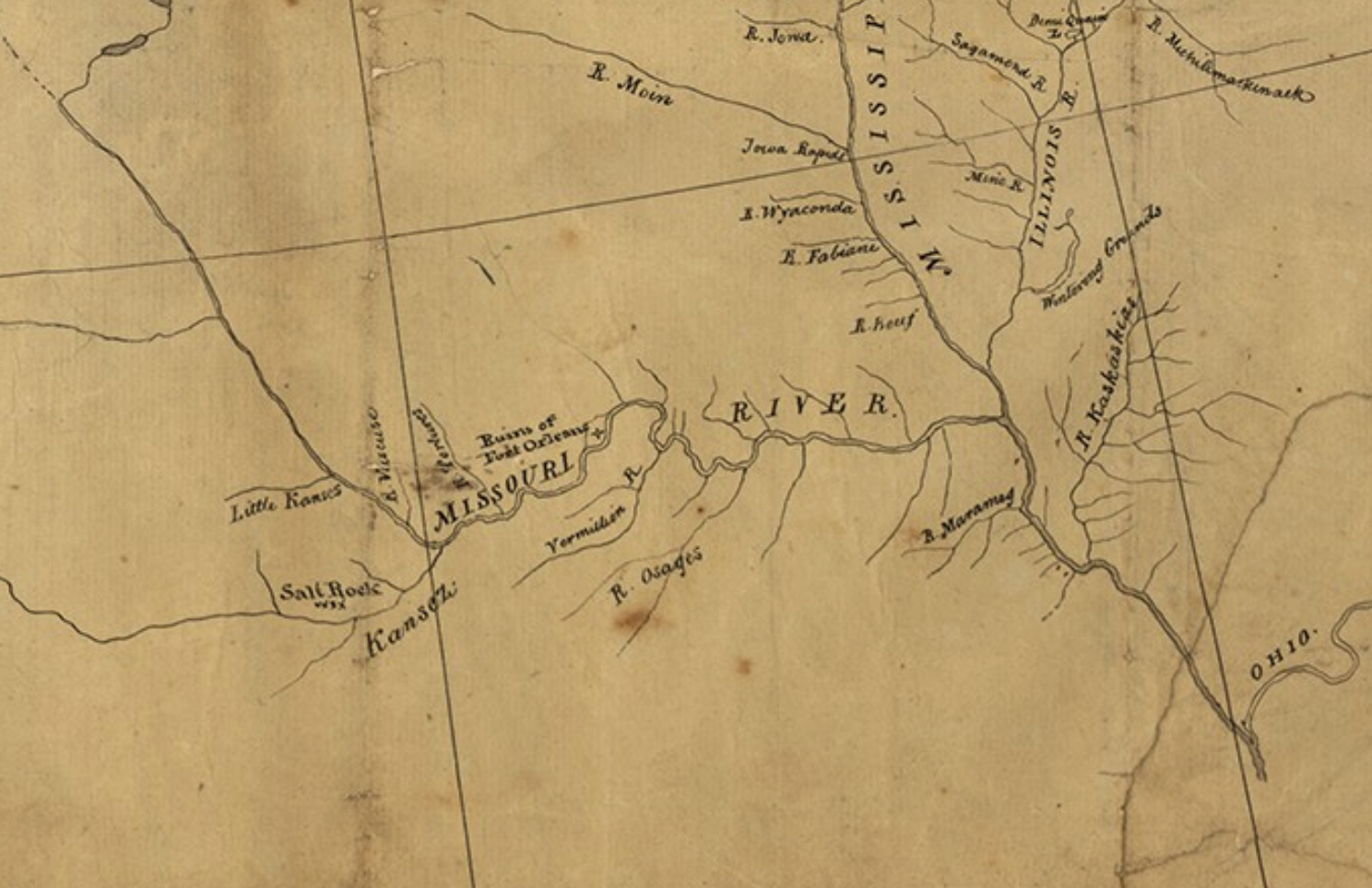
Library of Congress.
Within the letter Lewis tosses out the idea of a project to keep him busy during the upcoming winter, which due to the late start from Pittsburgh, would most likely force him to stay near St. Louis. He wrote, “…I have concluded to make a tour this winter on horseback of some hundred miles through the most interesting portion of the country adjoining my winter establishment; perhaps it may be up the Canceze River and towards Santafee, at all events it will bee on the south side of the Missouri.”
An excursion toward Santa Fe? Seems Lewis clearly didn’t realize that St. Louis to Santa Fe is over 1,000 miles. And that the Spaniards may not welcome him with open arms.
Fortunately, Mr. Jefferson tersely shut down the idea in a quickly written return letter: “One thing however we are decided in: that you must not undertake the winter excursion which you propose in yours of Oct. 3. Such an excursion will be more dangerous than the main expedition up the Missouri, & would, by an accident to you, hazard our main object, which, since the acquisition of Louisiana, interests every body in the highest degree. The object of your mission is single, the direct water communication from sea to sea formed by the bed of the Missouri & perhaps the Oregon.”
Photo: A small portion of Nicholas King’s 1803 map of North America, which was one of the maps taken by Lewis and Clark on the Expedition. This area shows the limited knowledge of the area to the west and southwest of St. Louis, where Meriwether Lewis proposed exploring over the winter of 1803-1804. Library of Congress.
Alt Text: A hand-drawn map showing the Mississippi, Missouri, Illinois, Kansas, and Ohio Rivers, and their small tributaries. Much of the yellowed paper is blank, due to limited knowledge of the area.
