Last updated: October 29, 2021
Article
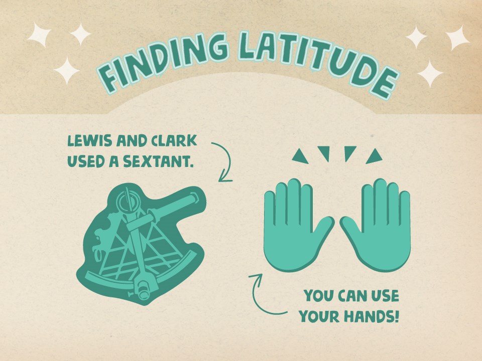
Lewis and Clark used a sextant, you can use your hands!

NPS
Need to Know Where You Are? Start With Your Hands!
Lewis and Clark used several instruments and lots of math to calculate their latitude, longitude and altitude as they traversed across the Great Plains and Rocky Mountains. But did you know, in the Northern Hemisphere you can accomplish some of these same calculations using only your hands? Test out some of these tricks; maybe they’ll come in handy on your next adventure!
What’s my latitude?
To find your latitude without any instruments, you’ll need to be able to locate Polaris (we know her as the North Star) and have an unobstructed view of the horizon. To find Polaris, you can start by finding Ursa Major (which we know as the Big Dipper). In the Fall, its low in the northern sky after sunset. If you draw a line through the two stars that make up the cup’s edge (opposite the handle), the next bright star you reach on that line is Polaris.
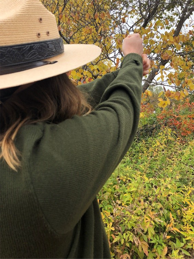
Great! Now that you’ve found Polaris, you can calculate your latitude! Stretch your arm straight out in front of you toward the horizon. Next, make a fist, tucking your thumb into your fist, with the hand on your outstretched arm. Hold your arm so that it appears the bottom of your first is resting on the horizon just under Polaris. The width of your fist between the horizon and Polaris is approximately 10 degrees of latitude! This makes it super simple to measure latitude if you’re trying to sail around the world on the 10 degrees north latitudinal line. But what can you do if you’re trying to measure the latitude of your city somewhere along the Lewis and Clark National Historic Trail? Stretch your arm out in front of you and try these tricks:
- A pinky finger is equal to about one degree.
- A thumb is equal to about two degrees.If you hold your hand flat, with your thumb and pointer finger making an “L” shape, the distance between the tip of your thumb and the tip of your pointer finger is equal to about 15 degrees.
- If you hold your hand flat and spread your fingers as wide as they will go, the distance between the tip of your pinky and the tip of your thumb is equal to about 20 degrees.
How can I check if this worked? Look up the latitude of your city. Then, go outside and test your skills!
Can I find my longitude using only my fist?
To find your longitude you’ll need a 24-hour clock and a little bit of knowledge. Here’s what you’ll need to know: Because of the way the Earth rotates, we see the entire sky in 24 hours. In Greenwich, England the latitude is 0 degrees, which means the sun is directly overhead at exactly 12:00 noon.
To find the longitude of your location, set your clock to Greenwich Mean Time (if you happen to actually be in Greenwich, you can set your clock to 12:00 noon when the sun is directly overhead). Then, wait for the sun to reach its highest point of the day at your location. Quick! Check the time on your clock. Unless you’re actually in Greenwich, your clock will not say 12:00 noon. The difference between your time and Greenwich Mean Time is what will help you calculate your longitude! Here’s an example:
United States’ Central Time = Greenwich Mean Time minus 6 hours, so when it’s 12:00pm noon in Greenwich, it’s 6:00 AM in Omaha, NE (to get an exact longitudinal measurement, you’ll need to wait until the sun is directly overhead. In Omaha, your clock will read closer to 6:25 AM). Now comes a little bit of tricky math; you’ll have to convert hours to longitudinal degrees. One degree equals .0667 hours, so you’ll just need to divide the hours on your clock by .0667 to find your longitude. Six divided by .0667 equals 90 degrees, which is a (sort of) close, but not perfect, longitudinal calculation for Omaha. Using 6 hours 25 minutes gets you a lot closer to Omaha’s actual 95 degree longitude.
How can you check if this worked? Look up the longitude of your city. Then, go outside and test your skills!

NPS
How long do I have before the sun sets?
This may not be a Lewis and Clark-specific skill, but it might be the most helpful if you’re out on your own adventure! Find a place where the horizon is unobstructed by trees or buildings. Hold your arm out in front of you, as long as you can, in the direction of the sun. Bend your wrist, with your palm facing toward you, and stretch your fingers parallel to the horizon. Hold your hand so that it appears your pinky is resting on the horizon. If you can see space between your hand and the sun, you may need to stack your second hand on top of your first. Stack the pinky of your second hand on to the index finger of your first hand; both palms should be facing in toward you. Now, count how many fingers there are between the horizon and the sun. Each finger equals approximately 15 minutes before the sun will go below the horizon.
How can you check if this worked? Look up what time the sun sets in your location. Then, go outside to test your skills!
