Last updated: August 10, 2021
Article
Landbirds Resource Brief for the Arctic Network
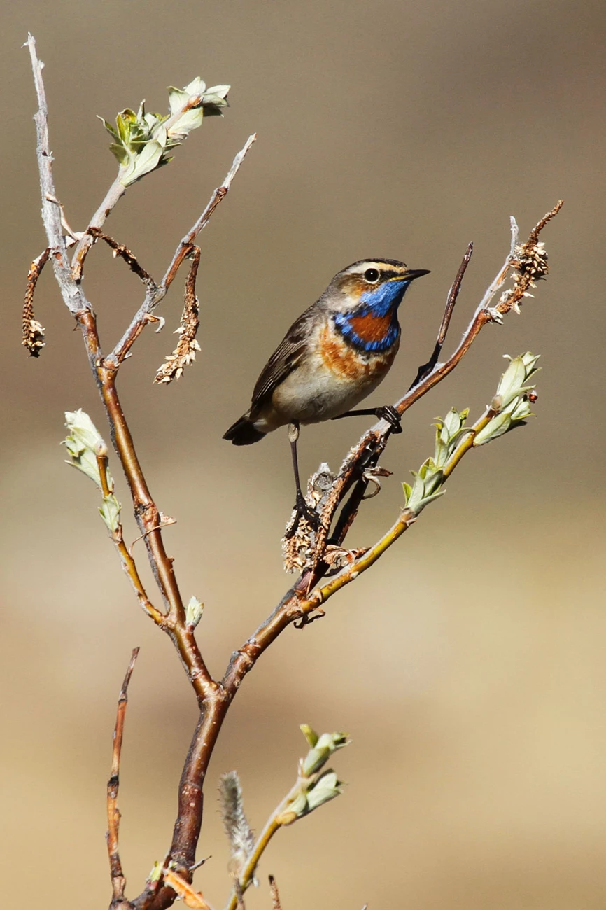
NPS/Jared Hughey
The status of landbirds in the Arctic Network
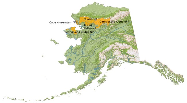
Population declines appear to be widespread among North American birds. However, evidence for these declines comes largely from roadside surveys conducted at mid-latitudes (i.e., the Breeding Bird Survey (BBS). Little is known about the distribution and population trends of landbirds across vast areas of Alaska, and the Arctic in particular. Approximately 147 resident and migratory bird species are expected to occur in the five National Parks of the Arctic Network.
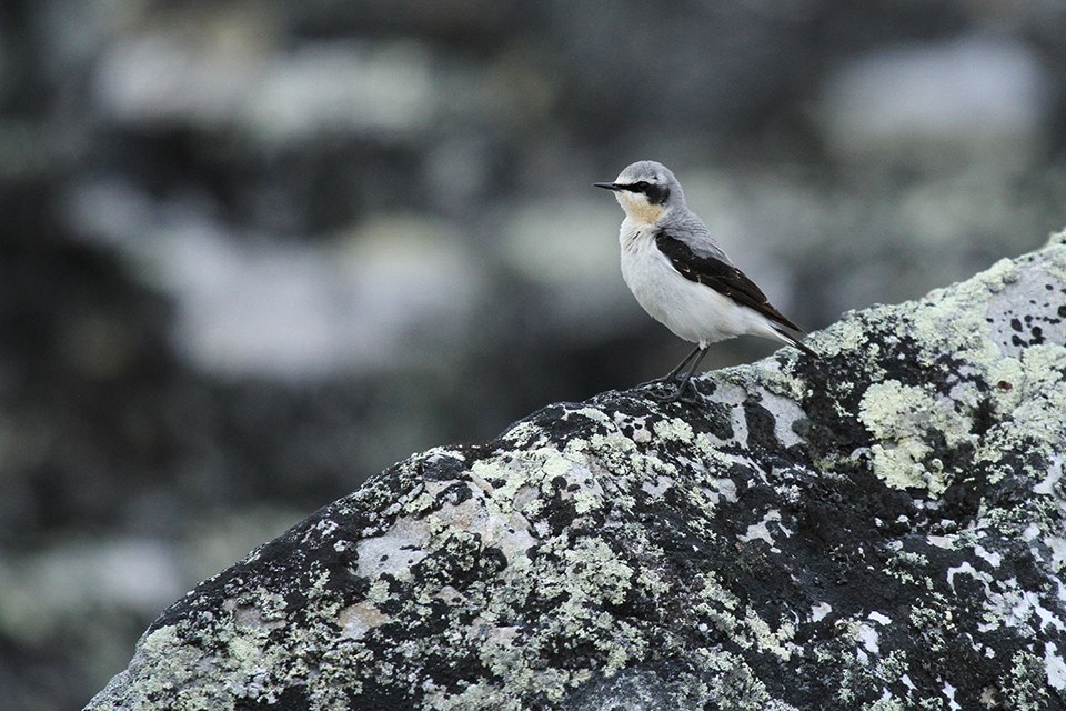
NPS/Jared Hughey
One of the most visible changes related to a warming climate in Alaska is the rapid expansion of erect shrubs into open tundra. The distributions of shrub-tundra songbirds in Alaska are shifting northward and into higher elevations, potentially tracking the observed expansion of shrubs. Thus, monitoring of the montane-breeding bird assemblage may be useful in indicating ecological responses to climate change in the Arctic and subarctic. Tracking changes in these breeding populations is necessary for species conservation.
Landbirds were selected as “vital signs” for long-term monitoring in the Arctic and Central Alaska (CAKN) Inventory and Monitoring Networks.
Specific objectives include:
1) documenting temporal trends in density of landbirds
2) documenting changes in their spatial distribution through time.
Landbirds were selected as “vital signs” for long-term monitoring in the Arctic and Central Alaska (CAKN) Inventory and Monitoring Networks.
Specific objectives include:
1) documenting temporal trends in density of landbirds
2) documenting changes in their spatial distribution through time.
What we want to know about landbirds
Early efforts to monitor landbirds in Alaska’s National Parks were focused along roadsides located primarily at low and mid-elevations. We have conducted surveys along the Park Road in Denali National Park and Preserve since 1995 and along McCarthy and Nabesna Roads in Wrangell-St. Elias National Park and Preserve since 2010. The elevational distributions of shrub-tundra and alpine passerines are truncated relative to the sampling frames of these roadside surveys. This leads to ambiguity in the interpretation of population trends; i.e., do population declines reflect species shifting their elevation distributions into elevations lying outside of our roadside sampling frame or are they indicative of regional population change? To address this area of ambiguity, we sought to expand our survey effort in above-treeline habitats in ARCN and CAKN using off-road surveys.
We chose six total off-road sites (three per network) in Gates of the Arctic National Park and Preserve, Noatak National Preserve, Denali National Park and Preserve, and Yukon-Charley National Preserve, each surveying a similar above-treeline bird community. All six study sites cover elevational gradients that encompass vegetation communities from lowland to alpine habitats with open shrublands, mixed dwarf shrub tundra, and barren slopes. Such characteristics provide an opportunity for inferences about distributional shifts related to shrub expansion into open habitats.
How we monitor landbirds
Bird surveys are conducted along fixed routes using a form of spatially-explicit distance sampling which involves recording the individual encounter locations of birds. This approach allows fine-scale assessment of spatial variation in density and is expected to have increased sensitivity to distributional shifts. Surveys are repeated 2–4 times per season to accommodate variation in the probability of availability (i.e., the probability that a bird sings). Survey routes are grids comprised of 600 m x 600 m cells centered on access points at each study area which were primarily the airstrips at which we established our basecamps. The overall strategy was to establish a set of routes that radiated out from the access point. Routes were designed to be completed in a single day (i.e., average 5.4 km in length) and to return observers close to their original starting point. Each site contains ≥13 routes covering 120 grid cells on average.
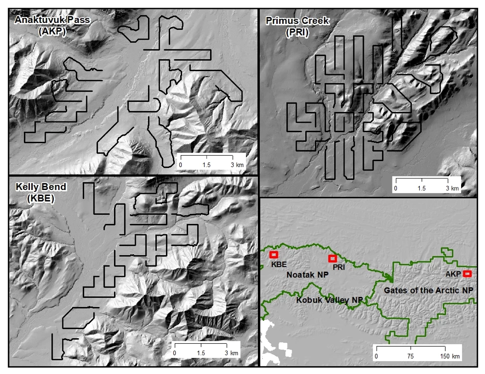
Fine-scale assessment of spatial variation in density of birds at Primus Creek, Noatak National Preserve
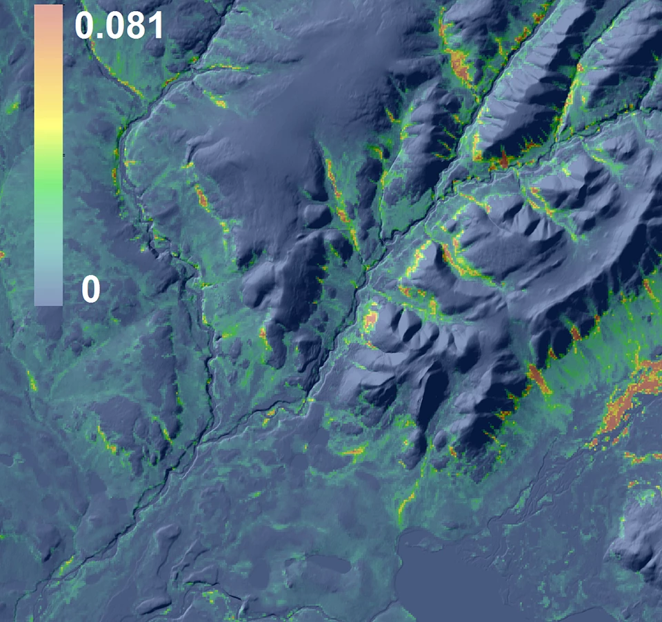
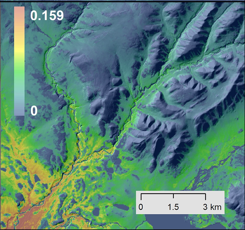
Left image
Predicted abundance for American Tree Sparrow
Right image
Predicted Abundance for Savannah Sparrow
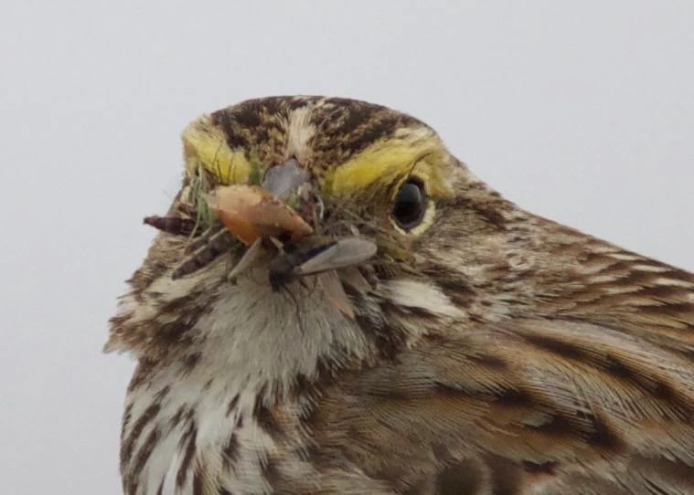
Ken Stenek
For more information contact Jeremy Mizel
jeremy_mizel@nps.gov
