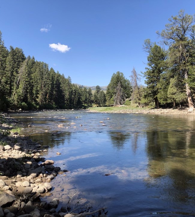
Part of a series of articles titled Water Resources Monitoring in the Lamar River near Tower Ranger Station, Wyoming, 2021.
Article
The Lamar River Site

NPS
The Lamar River has a drainage area of 668 mi2 (1730 km2) and is the largest tributary to the Yellowstone River inside Yellowstone National Park. The river is named after Lucius Quintus Cincinnatus Lamar, the Secretary of the Interior under President Grover Cleveland from 1885 to 1888.
Originating in the Absaroka-Beartooth Mountains, the Lamar River travels nearly 44 miles (70 km) from its headwaters to the confluence with the Yellowstone River near Tower Junction. Major tributaries include Cache Creek near its headwaters and Soda Butte Creek and Slough Creek closer to its mouth.
We sample the Lamar River above its confluence with the Yellowstone River. Most of the Lamar River watershed is contained within federally managed lands; 73% of the watershed is encompassed by the boundaries of Yellowstone National Park (1270 km2 of its 1730 km2 area).

NPS

NPS
Last updated: October 30, 2020
