Last updated: December 14, 2023
Article
Ice wedges surprisingly stable over the past decade
Permafrost Monitoring Brief, 2022

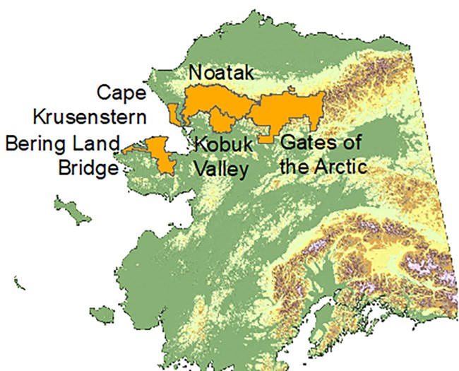
The NPS Arctic Inventory and Monitoring Network (ARCN) monitors permafrost in the five National Park units of northern Alaska. We monitor ground temperatures at remote stations and permafrost landforms with satellite images and aerial photographs. Ecologist Dave Swanson recently re-examined the condition of ice wedges at three study areas in ARCN. Ice wedges are responsible for much of the unique polygonal patterned ground in the Arctic. Ice wedges are masses of nearly pure ice near the surface. They are quite susceptible to thaw and thus can be an early warning of permafrost loss. Ice-wedge thaw also creates new ponds and drainage pathways that can cause rapid lake drainage.

NPS/Matt Nolan
Key Findings
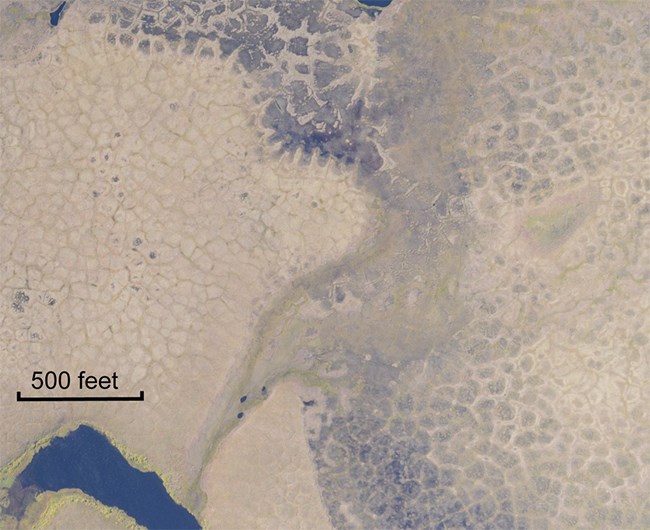
- Recent satellite images (from 2019 and 2020) showed little new subsidence due to melting ice wedges since our previous images from 2006-2009.
- This was surprising given the record warm temperatures in the region during the period 2014-2019, and the significant degradation of ice wedges that occurred during the previous sampling interval (between the early 1950s and 2006-2009, in Kobuk Valley National Park).
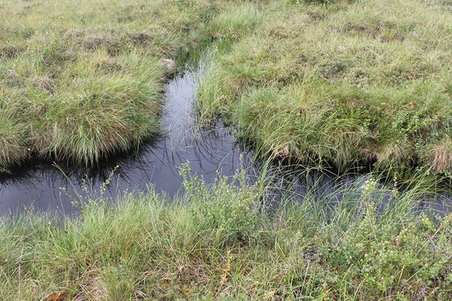
- A lingering effect of earlier ice-wedge degradation was continued formation of new drainage channels by the linking up of small ponds from earlier ice-wedge degradation. These can lead to the rapid drainage of lakes.
- We will continue to monitor the condition of ice wedges in case climate change or unusual weather causes us to cross a threshold that makes ice wedges unstable again.


NPS/Dave Swanson
How We Monitor Ice Wedges
When ice wedges melt, ponds can form around the margins of the ice-wedge polygons. We use aerial photographs and satellite images to make maps of the distribution of ponds around ice-wedge polygons in three study areas, one each in Bering Land Bridge National Preserve, Kobuk Valley National Park, and Noatak National Preserve. We use these maps to locate areas of degrading ice wedges.
Management Implications
- The fact that we didn’t see a lot of ice-wedge degradation in the past decade is good news. The ice wedge degradation that we observed prior to 2009 - and associated impacts on the landscape - appear to have slowed down for the moment.
- This finding reinforces our recent study of landslides caused by permafrost thaw in ARCN: there have not been many in recent years, in spite of the record warm temperatures.
- However, local effects of ice-wedge degradation can be dramatic. The pits from previously degraded ice wedges can link up to form new drainage channels, and these can result in rapid lake drainage.
