Last updated: November 19, 2020
Article
Glorieta and Raton Passes: Gateways to the Southwest (Teaching with Historic Places)

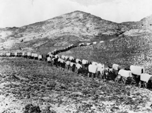
The snowcapped Sangre de Cristo Mountains form a formidable barrier between the eastern United States and what is now New Mexico, Arizona, and California. But Americans moving westward during the early 19th century could not be stopped. At Raton Pass, on the border between Colorado and New Mexico, they found one way through the mountains, but it was narrow and steep, suitable at first only for pack horses. The broader, easier crossing at Glorieta Pass, between the mountains and the red wall of Glorieta Mesa, was another. Use this lesson plan to learn about the Glorieta Pass. (Click on the image for the full lesson plan.)
Essential Question
How did European Americans imagine and assert their claims to western land?
Objective
1. To determine and analyze the geographic and political forces that influenced control of New Mexico and the southwestern United States;
2. To examine the ways in which different groups asserted political and economic claims to the region;
3. To determine what role their own community played in westward expansion.
Background
Time Period: 1820s to 1865
Topics: This lesson could be used in American history, social studies, and geography courses in units on westward expansion or the Civil War.
Grade level
Middle School: Sixth Grade through Eighth Grade
Subject
Literacy and Language Arts,Social Studies
Lesson Duration
90 Minutes
Common Core Standards
6-8.RH.2, 6-8.RH.3, 6-8.RH.4, 6-8.RH.5, 6-8.RH.6, 6-8.RH.7, 6-8.RH.8, 6-8.RH.9, 6-8.RH.10, 9-10.RH.1, 9-10.RH.2, 9-10.RH.3, 9-10.RH.4, 9-10.RH.5, 9-10.RH.6, 9-10.RH.7, 9-10.RH.8, 9-10.RH.9, 9-10.RH.10
