Article

Virtual Activity: Geology and Art
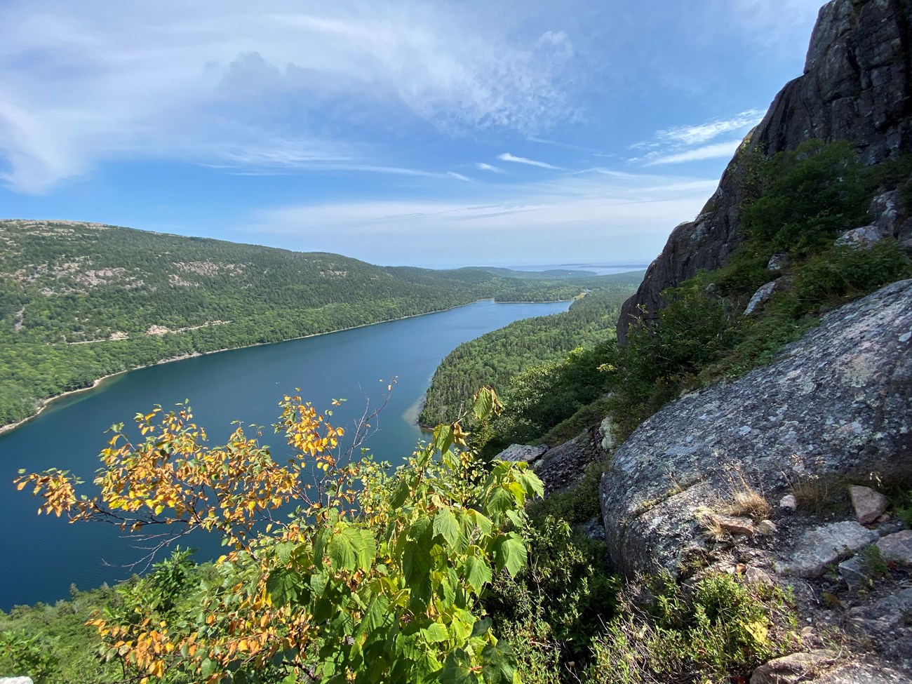
View of a pond and landscape from a trail along a cliff
View of Jordan Pond looking South from the Jordan Cliffs Trail

NPS Photo/Mariah Reading

Acadia National Park was sculpted by a glacier thousands of years ago. There is visual evidence of this process all around Mount Desert Island. This evidence takes the form of our granite mountains, steep cliffs, and deeply carved lakes.

A glacier is a slowly moving mass of compacted ice formed by the accumulation of snow. Most recently, the pressure, friction, and force of the Wisconsin Glaciation carved the dynamic landscape of Acadia.

Follow along with the steps that the glacier took and draw, paint, write, or respond how you think Acadia’s landscape has transformed over geologic time. When exploring throughout Acadia, see if you can identify any of the glacial land features in the photos.

  1. Roughly 15,000 years ago, a glacier 5,000 feet thick covered Acadia. That is over three Cadillac Mountains of ice above us!
    Draw what Acadia may have looked like 15,000 years ago.


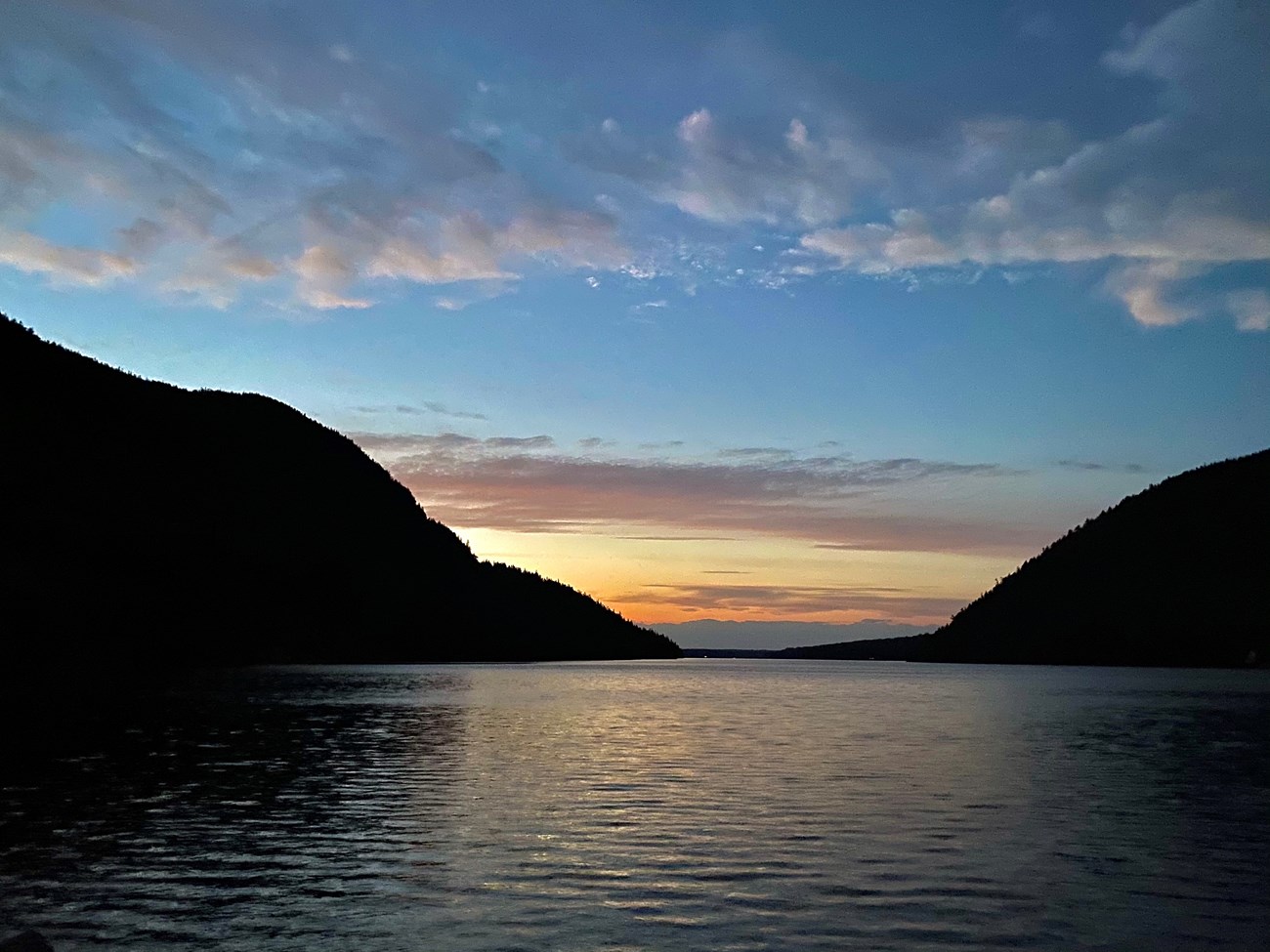
Sunset seen above a U-shaped valley and pond
Sunset over Long Pond, with Mansell Mountain to the west and Beech Mountain to the east forming a U-shaped valley.

Photo courtesy of Mariah Reading. Used with permission.

  1. As the glacier moved, it carved U-shaped valleys between mountains. A good place to spot this land formation is Jordan Pond with Penobscot Mountain to the West and Pemetic Mountain to the East. Jordan Pond is our deepest body of water in the park at 150 ft.
    Can you spot a U-shaped valley? Draw what you see!


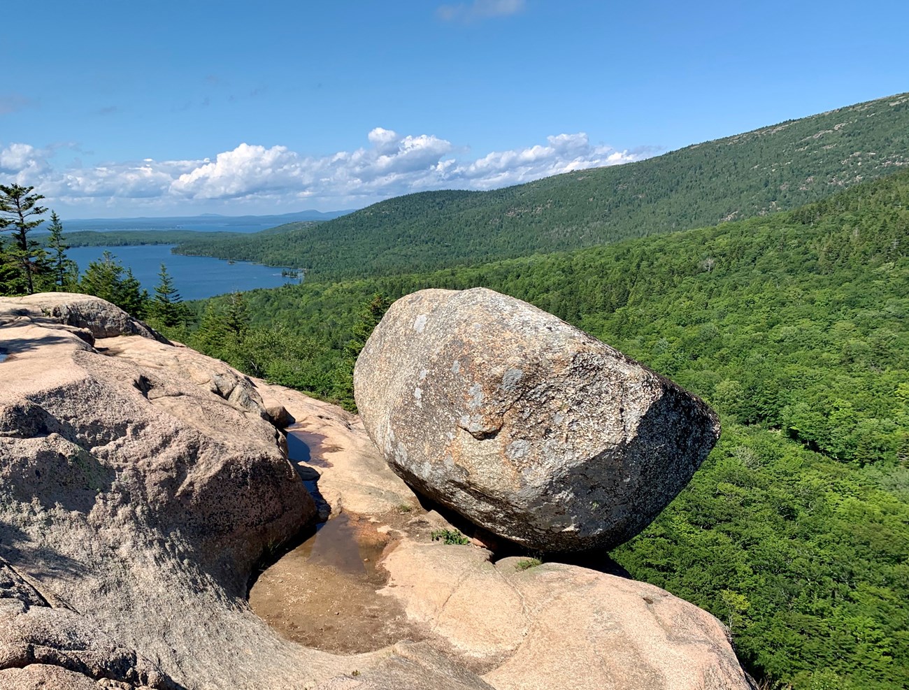
Bubble Rock, a glacial erratic
Bubble Rock balanced on the side of South Bubble with a green forest surrounding and Eagle Lake in the distance.

NPS Photo/Kylie Caesar

  1. The glacier was so powerful, it picked up large boulders, carried them over 40 miles, and dropped them off as the glacier began to melt. An example of this is Bubble Rock, perched on the top of South Bubble weighing 14 tons! That is about the same weight as an Island Explorer Shuttle Bus! Rocks that have been carried by glaciers and deposited elsewhere are called glacial erratics.
    What would it look like for a bus to be carried to the top of one of Acadia’s mountains by a glacier? Draw it!


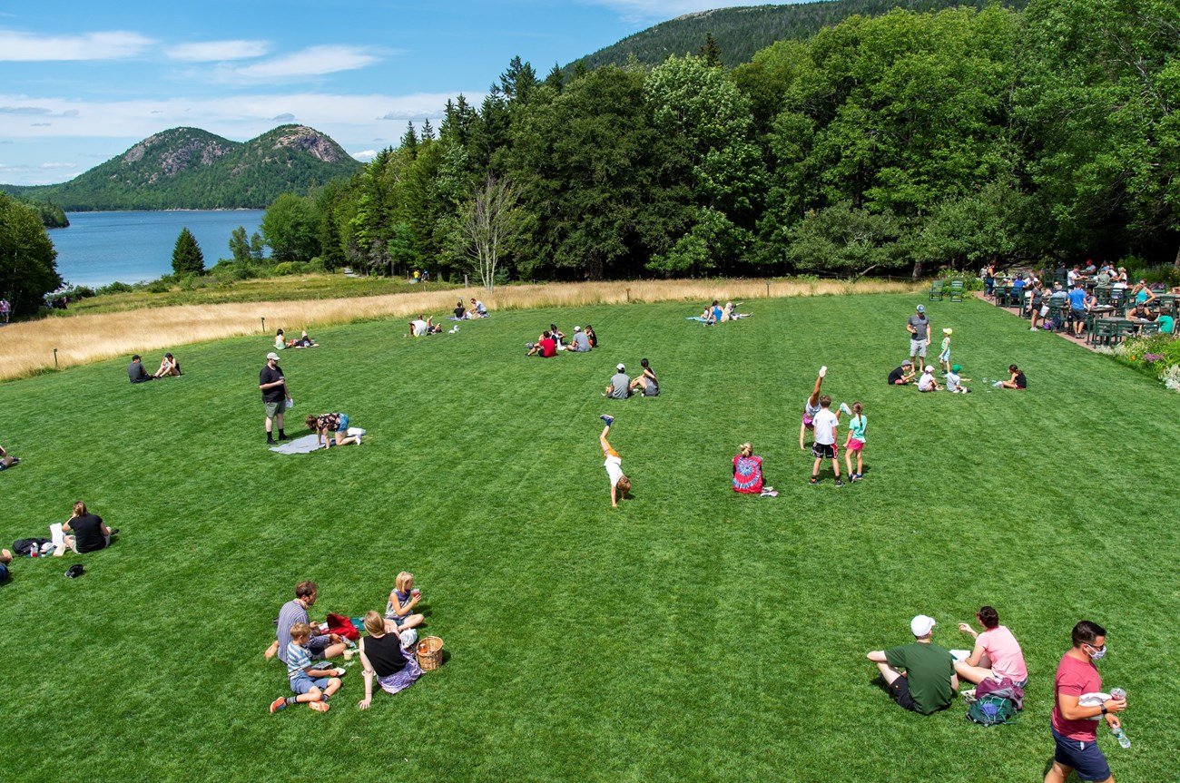
People spread out on a green lawn with a pond to the north
When eating lunch at the Jordan Pond House, you are standing on the glacial moraine.

Photo by Ashley L. Conti, Friends of Acadia, NPS

  1. As the climate continued to warm, the southern edge of the glacier began to recede, depositing accumulations of rock, gravel, and sand at its melting edge. This edge is called a moraine. When eating lunch at the Jordan Pond House, you are standing on the moraine!
    Imagine 5,000 feet of ice melting above you. Draw what you think this may have looked like in Acadia.


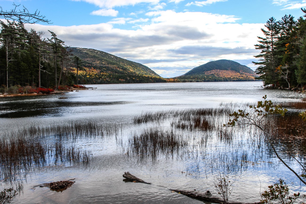
Lake surrounded by forest and small mountains
A view of fall foliage from the northern shores of Eagle Lake

NPS Photo/Victoria Stauffenberg

  1. The pile of debris formed a natural dam that trapped the water to form our lakes and ponds. Take a walk around a body of water like Eagle Lake, or go for a swim in Echo Lake or Long Pond. Notice the shape of the lakes; are they short and round or long and skinny?
    Find a nice spot to draw or write about a lake scene that inspires you.


Art plays an important role in interpreting the glacial and entire geologic past. It is a way we can relate to and imagine events that happened thousands and millions of years ago. By creating your own art in Acadia, you are contributing to a legacy of science and understanding.

Acadia National Park

Last updated: October 17, 2020