Last updated: July 31, 2024
Article
The Future of Fires in Wind Cave
NPS Photo
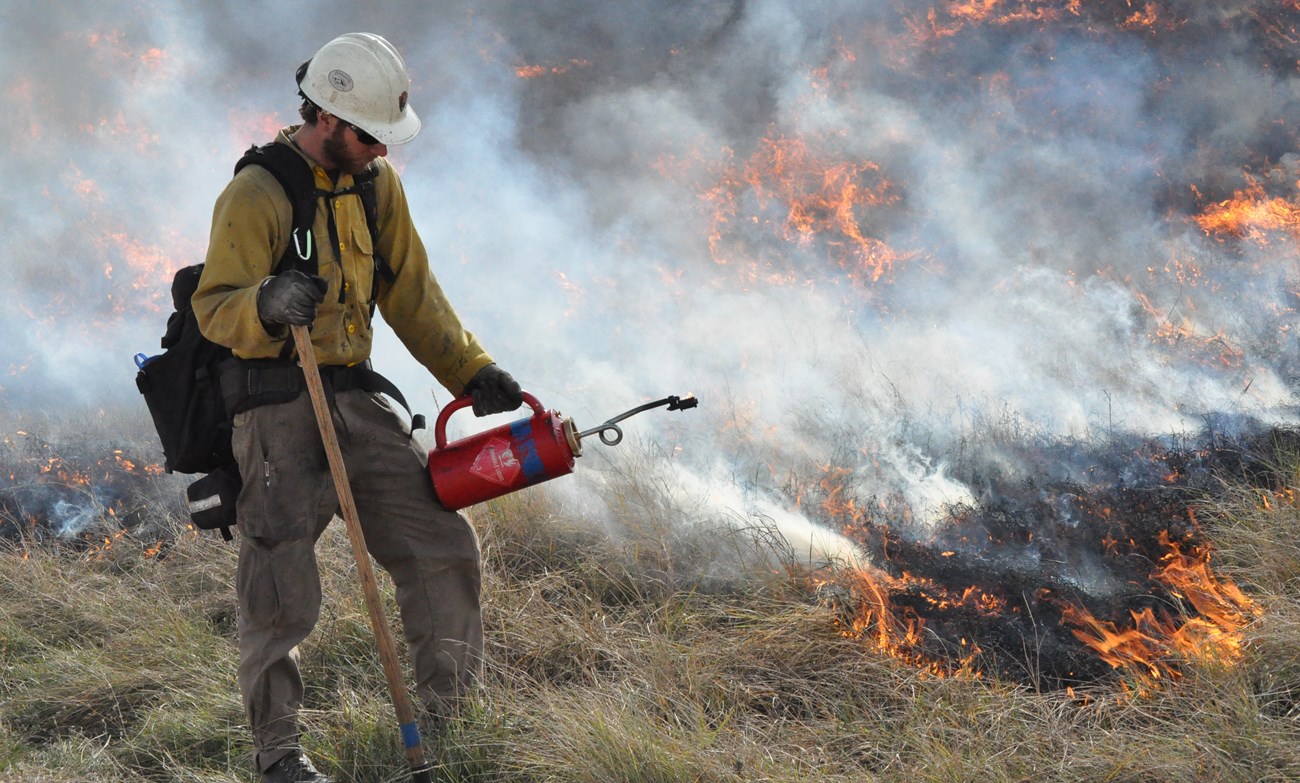
Fire is a management tool that has been used for thousands of years. The Lakota people used fire to clear land for camp and create successful hunting grounds by drawing bison and other grazing wildlife to the green grass of recently burned areas. As homesteaders moved farther west in North America, the use of fire dwindled because it was seen as dangerous and unnatural. By the latter half of the 1900s, fire became a more acceptable management tool as the effects of fire suppression began to wreak havoc on ecosystems.

NPS Photo
Fires and the Great Plains
Richard P. Guyette, et al. studied fire frequency in the North American Great Plains (2014). This study created fire records to determine how often fires occurred before the Industrial Revolution. Fire scars and ring measurements of tree cross-sections from sampling sites showed fires occurred on average every 13 years, but the range of fire intervals was anywhere between 4.8 - 28+ years. Projections of future climate used in this study suggest fires could happen more frequently in the northern Great Plains.
How could climate change affect fires in the park?
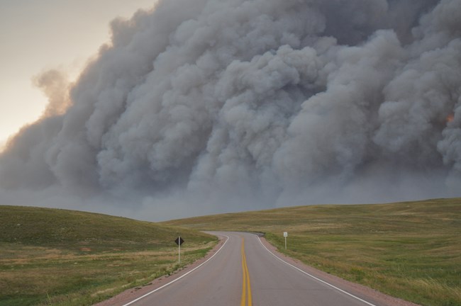
David A. King, et al. collected data about climate and its effects on fire and vegetation within Wind Cave National Park (2013). King’s studies indicate the effects of climate change on the environment will be significant, but the park’s location may make it more vulnerable to future climate impacts. The presence of the ecotone within the park, the transitional zone between the prairie and the forest, exacerbates this concern. If climate change impacts were to erase the ecotone and the entire park became prairie, wildlife that depend on the forest would lose their habitat and food source. If the entire park became forested, grazing wildlife would lose their food source.
NPS Photo / Tom Farrell
In the King study, MC1, a dynamic global vegetation model, is used to create projections for the park. The model analyzes environmental data using three different modules, paired with climate models, to create projections of vegetation and fire behavior. The biogeography module looks at the type and mix of vegetation within the park. The biogeochemistry module focuses on the carbon, nitrogen, and water cycles. The fire module discusses fire occurrence, behavior, and effects on vegetation within the park.
Historical and future simulations offer the best information about climate effects on fire and vegetation within the park. The historical simulation estimated the distribution of trees, grasses, and fire dynamics for the years 1895-2000, providing a helpful basis for comparing data from the future simulations.
The future simulation created projections based on data from three climate models. All three projected increases in temperature: model A is warmer, model B is hot, and model C is the hottest of the three. Model A projected more precipitation, model B has no change in precipitation, and model C projected less precipitation and a much drier climate. These models are paired with different management plans and scenarios to show the future of fire and vegetation within the park.
NPS Photo / Jason Devcich
Natural Fire
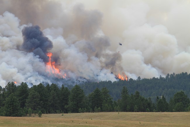
The future simulation projected the effects of natural fires on vegetation. All three climate models projected higher fire frequency, with the highest frequency being near the end of this century. The increased temperatures projected across all climate models are one reason for the higher fire frequency, with lower humidity in models B and C contributing, as well. A larger number of fires happening more frequently is projected to burn more trees in dense stands. The number of trees decreases, but the distribution does not change, so the balance between the forest and the prairie is maintained.
Fire Suppression
If natural fires are completely suppressed within the park, trees will have a higher distribution and encroach into the prairie. Complete fire suppression would also result in a build-up of vegetation in the forest understory. Any fires escaping suppression will likely be more severe because of the larger amount of vegetation available and denser stands of trees. Following such fires there will be fewer dense stands within the park, and trees will be more dispersed.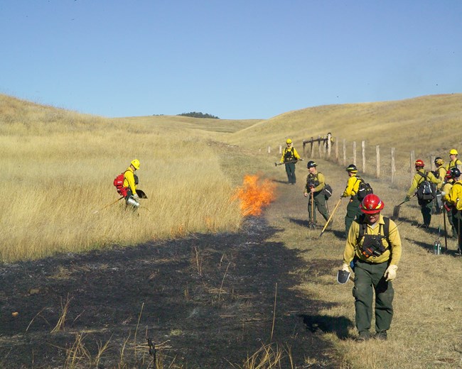
NPS Photo
Prescribed Burns
Prescribed burns are fires intentionally set by resource managers that mimic the results of natural fires. Under a prescribed burns regime, trees maintain their current distribution throughout the park and are prevented from invading the prairie. All three climate models show that prescribed burns keep wooded areas healthy by removing excess vegetation, allowing a more diverse plant community to grow in the understory.
Future Fire Danger
Many variables play a role in creating future projections. Wind is a critical variable because high wind speeds increase the severity of fires. MC1 cannot accurately predict future wind speeds, so the amount of fuel (wood and vegetation) within the park was used to show future fire danger. The historical simulation estimated 12 days per year in the 20th century had high amounts of fuel to burn. The future simulation projected 20-100 days per year depending on the climate model, therefore increasing the possibility of fire. If high wind speeds occur, a large portion of the forest within the park could be burned.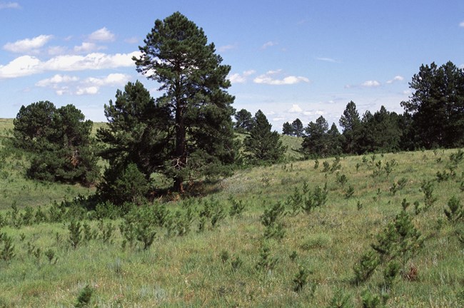
NPS Photo
Summary
In a world without fire, ponderosa pine forests would invade the park’s prairie ecosystem. The data from the future simulation and climate models support the park’s current use of prescribed fires. Since the entirety of the park is fenced, it is important to maintain the balance between trees and prairie so wildlife have enough food. As the climate changes, fire regimes may have to change so the park can continue to support wildlife at desired levels. Even though MC1 is helpful in showing what the future of the park may look like, it is important for natural resource managers to monitor what is actually happening to create appropriate management plans.Sources
Guyette, Richard P., et al., An Analytic Approach to Climate Dynamics and Fire Frequency in the Great Plains, 2014.
King, David A., et al., Vegetation Projections for Wind Cave National Park with Three Future Climate Scenarios, 2013.
Wright, Jr., Herbert E., & Heinselman, Miron L., The Ecological Role of Fire in Natural Conifer Forests of Western and Northern North America—Introduction, 1973.
Creating a Relationship with Fire, 2020.
Forests, 2019.
