Part of a series of articles titled The Midden - Great Basin National Park: Vol. 15, No. 2, Winter 2015.
Article
Figuring out How the Southern Snake Range Formed
This article was originally published in The Midden – Great Basin National Park: Vol. 15, No. 2, Winter 2015.

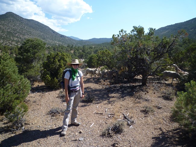
Photo submitted by the author
New geologic research shows that the mountains of Great Basin National Park took millions of years to form. The southern Snake Range, the mountain range at the core of the park, was formed over the past 50 million years due to periods of intense stretching or extension of the Earth’s crust. The extension of the crust created many faults, or breaks along which rocks move up and down within the Earth. These faults pulled up rocks from below to the surface, and with the help of rain, snow, ice, and wind eventually produced the southern Snake Range we see today.
Prior to this new research, it was not totally clear to geologists if the mountain range was produced during a single period of stretching or multiple periods. To figure this out, we used computer modeling, new laboratory analyses on rocks from the park, and similar laboratory analyses from other researchers to understand exactly when faulting occurred in the past. The computer modeling and laboratory analyses show that stretching occurred in multiple episodes, rather than a single period of stretching.
The first episode started at about 50 million years ago and continued for around 12 million years. A second episode of faulting began about 33 million years ago and lasted until about 23 million years ago. This second episode was accompanied by intense and most likely explosive volcanic activity in east-central Nevada and west-central Utah. Volcanic rocks from this period can be seen just south of the park in portions of the Highland Ridge Wilderness Area. A third episode of extension began around 23 million years and lasted up until 8 million years ago.
Currently, stretching is still occurring on faults in and near Great Basin National Park. Although it can be difficult to comprehend how long the landscape has existed, this new research has helped geologists to understand a little bit more about how this mountain range formed.
Last updated: March 20, 2024
