Part of a series of articles titled Lewis and Clark Trail 2022 Annual Report.
Article
Collaborative Panoramic Mapping Project

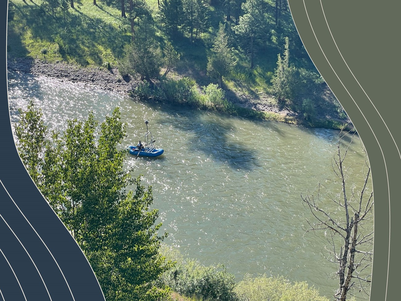
Photo: Terrain360
Article by Ryan Cooper. Geographer, Lewis and Clark National Historic Trail.
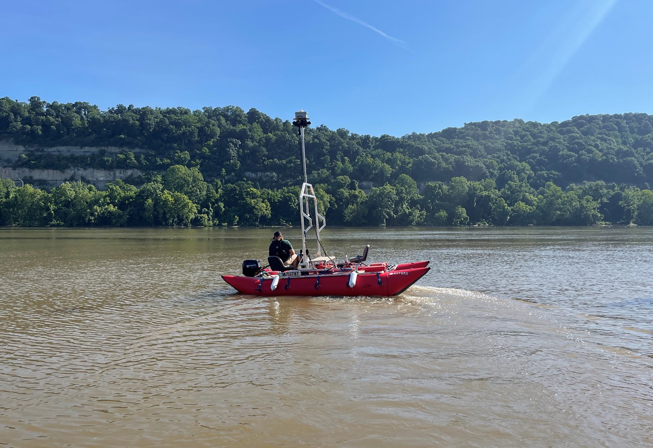
This year, staff from the Integrated Resources Stewardship team expanded upon the project to collect 360-degree imagery and mapping information along several segments of the Lewis and Clark National Historic Trail. The project was coordinated by Lewis and Clark Trail staff in collaboration with Terrain360, a company that uses the latest technology to document resources along trails and waterways. The Lewis and Clark Trust generously helped support and fund the mapping and image collection of a 690-mile stretch of the Ohio River in the summer of 2022.

In Montana, data collection took place with the support of the Bureau of Land Management on 106 miles along the Upper Missouri Breaks, Blackfoot River, and Yellowstone River. The Lewis and Clark Trail Heritage Foundation assisted former Virtual Student Federal Service (VSFS) intern Morgan Scafidi in mapping 18 different overland trail segments in the Great Falls area. The project serves as a great example of how government agencies, non-profit groups, and private companies can work together to address challenges that impact resources along the Lewis and Clark Trail.

Photo: Terrain360
Last updated: January 4, 2023
