Last updated: February 1, 2022
Article
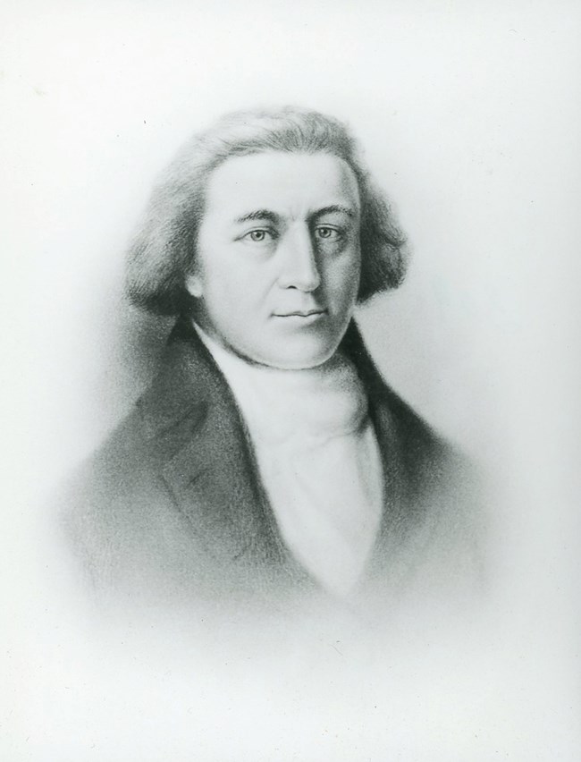
Captain Robert Gray's Connection with the Lewis and Clark Expedition

NPS

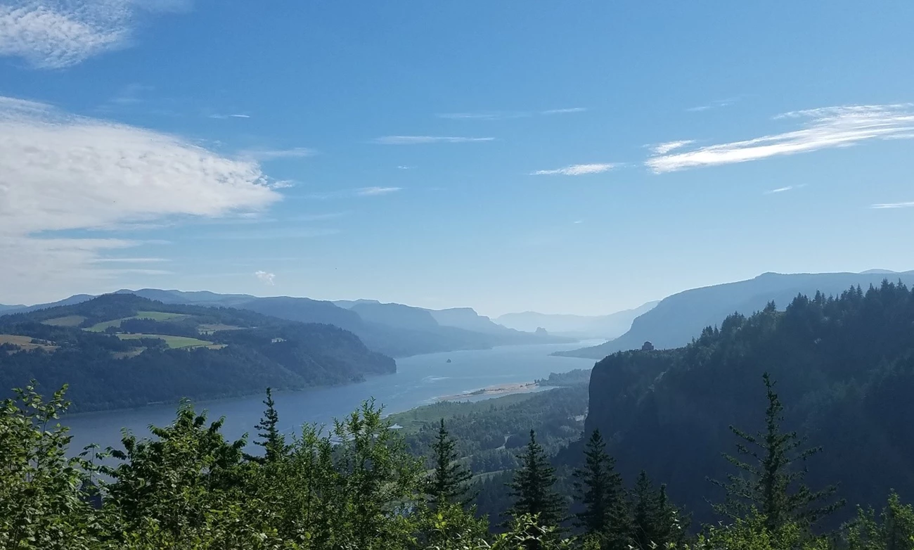
Gray’s Harbor, the large estuarine bay about 45 miles north of the mouth of the Columbia River, is named in recognition of Captain Robert Gray, the first Euro-American to enter it on May 7, 1792. Gray originally named the bay Bullfinch Harbor. He also named the mighty Columbia River after his ship, SS Columbia Rediviva.
But Gray wasn’t the first explorer to travel this far up the Pacific Coast.
It’s believed that Spanish explorer Bartolomé Ferrolo sailed up the coast in 1543, probably as far as the 42nd parallel (today’s border of Oregon and California). Nothing became of his journey. Then in about 1775 another Spaniard, Bruno Heceta, landed about 100 miles north of the Columbia’s mouth – he claimed the area for Spain. Three years later, Captain James Cook traveled to the 48th parallel, and soon after American trade aroused international interest in the region.
Just after the American Revolution, American ships sailed around Cape Horn to trade cloth and trinkets with the Native peoples of the Pacific Northwest in exchange for otter pelts and other furs. They then sailed to China to exchange them for tea and other luxury goods.
It was while engaged is such trade that Captain Gray realized he had found the mouth of the great river of the Northwest, but he perceived how treacherous entering the harbor would be. About a week before Gray safely “crossed the bar” into the harbor, he encountered the HMS Discovery, captained by George Vancouver. The two captains talked and Gray let Vancouver know, although his first attempt failed, he was going to try it again. He was successful on May 7. Once inside the harbor he carefully took latitude and longitude coordinates that he later shared with Thomas Jefferson, who estimated the width of the continent to be 3,000 miles. It also fueled Jefferson’s desire to know more about the region, which would result in his formation of the Corps of Discovery 11 years later.
