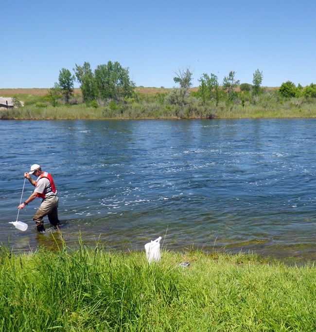
Part of a series of articles titled Water Resources Monitoring in the Bighorn River near Fort Smith, Montana, 2019.
Article
Bighorn River near Fort Smith, Montana

NPS
The Bighorn River is the largest tributary of the Yellowstone River. The river flows from central Wyoming north into Montana and receives water from west-central Wyoming and a small area of south-central Montana. It is formed below the confluence of the Wind River and the Popo Agie River. Upper reaches of the river are impounded as part of the Boysen Reservoir project near Shoshoni, WY. Major tributaries to the Bighorn River include the Greybull and Shoshone rivers.
In 1967, construction of Yellowtail Dam was completed downstream of the confluence with the Shoshone River and Montana-Wyoming border forming Bighorn Lake. An afterbay pool is formed by a smaller dam, the Yellowtail Afterbay Dam, that was constructed on the Bighorn River 2.2 miles (3.5 km) downstream from the larger Yellowtail Dam. Discharges from the afterbay are used to create uniform daily flows (leveling the peaking power discharges from Yellowtail Power Plant) into the Bighorn River.
The Bighorn River downstream of the Yellowtail Dam travels approximately 90 miles (145 km) before emptying into the Yellowstone River near Bighorn, MT. In total, the Bighorn River travels a length of 236 miles (380 km) from the Boysen Reservoir to the Yellowstone River. There are major irrigation projects on the river at Riverton, WY, and Bighorn, MT. Bighorn Canyon National Recreation Area straddles the Bighorn River and Bighorn Lake with its northern most extent near Fort Smith, MT. From that point and extending to Hardin, MT, the Bighorn flows through the Crow Reservation lands. At Hardin, MT, the Little Bighorn River, site of the Little Bighorn Battlefield National Monument, joins the Bighorn River.

NPS

NPS
Last updated: July 29, 2021
