Last updated: April 5, 2024
Article
Research Brief: Exploring landscape change in Acadia with historical aerial imagery and modern photogrammetry

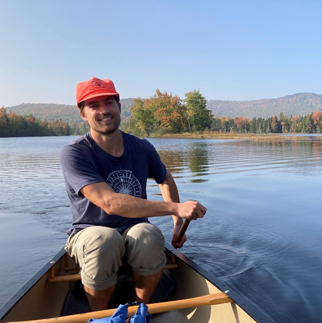
Image courtesy of Peter Howe
Acadia National Park’s forests have always been changing in response to human land use, climate, and other factors. Today’s forests have been indelibly shaped over the past 400 years since European colonization, and exploring the complex, interwoven dynamics of forest change across time is key to understanding how Acadia’s forests will continue to change into the future.
It is vital for today’s researchers to have a snapshot of yesterday’s forests, yet the data available for forest modeling and land-change analysis are often insufficient, relying on remote sensing that only reaches back 20-30 years.
Historical forests have been documented extensively. The University of Maine hosts a collection of 700,000 remarkably detailed aerial photographs of the region, including many of Acadia. In the 1930s following World War I, aerial photography was employed for land management and urban planning and continued throughout the following decades. In 2019, the Sewall Company, one of New England’s historical surveying and engineering companies, donated this archival collection to the University of Maine.
Unfortunately, the value of these records has not been fully realized as the collection has remained undigitized and been inaccessible to researchers, land managers, and the broader public.
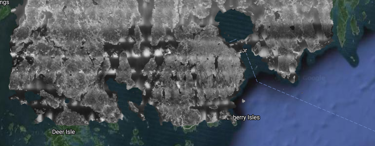
Acadia Science Fellow Peter Howe, a graduate student at the University of Maine, seeks to remedy this issue using modern advancements in photo processing technology, such as photogrammetry: the science of making precise measurements within photographs to compile a larger spatially accurate composite image of a region.

Image courtesy of Peter Howe
"This timely project will support the park's ongoing efforts to restore ecosystems at Great Meadow, Bass Harbor Marsh, and on our mountain summits," said Resource Management Program Manager Rebecca Cole-Will. "We cannot have a thriving ecosystem in the future if we
don't understand how the ecosystem has evolved. This project will shed light on that important piece of the puzzle."
“While expanding the historical record of Acadia National Park and the Northern Forest presents exciting new research potential, the greatest value of these photos lies in their storytelling power,” Howe proposes. Howe hopes that the results of his work will be accessible and engage a broad audience.
