Part of a series of articles titled The Midden - Great Basin National Park: Vol. 19, No. 1, Summer 2019.
Article
2019 Snow Survey Results
This article was originally published in The Midden – Great Basin National Park: Vol. 19, No. 1, Summer 2019.

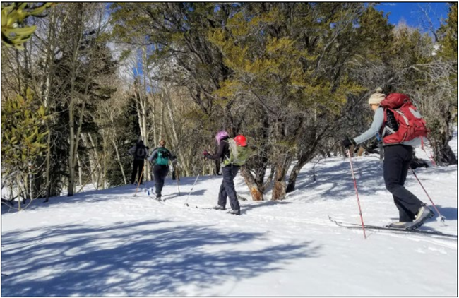
NPS Photo by G. Baker
After a few dry years, we were excited to see the mountains looking very white this winter. Just how much snow was up there? Park staff and volunteers skied up Baker Creek to measure the snow at three snow courses, at elevations of 8,200, 9,200, and 9,550 feet. At each snow course, a long, aluminum tube was used to make five measurements. The snow tube was driven into the snow until it reached the ground to measure the snow depth. Then the tube was extracted with the snow in it and weighed to obtain the snow water equivalent, or how much water would there be if this snow was converted to water.
At the end of February, the snow water content for all three sites was about 140% of median (1981- 2010). The snow depth was about 120% of median. At the highest site, the snow was about 59 inches deep.
At the end of March, the snow water equivalent for the three sites was about 170% of the median (1981-2010; Table 1). That is the highest snow total at the Baker Creek snow courses since 2005, when we had 300% snow pack. It’s also the fifth highest since measurements started in 1942. You can see historical data for the Baker Creek Snow Courses on the Natural Resources Conservation Service website.


We can also expect streams to be higher, so be extra careful around them. Peak flow is generally mid-May to the end of June, with enough water in the creeks to wash someone downstream. You can even hear boulders rolling in the current when the water gets higher. Watch out for roads and trails flooding.
The extra snowpack also means it should be a great wildflower year.
Last updated: February 20, 2024
