Last updated: January 21, 2022
Article
Wild and Scenic River Additions The National Rivers Project in Alaska

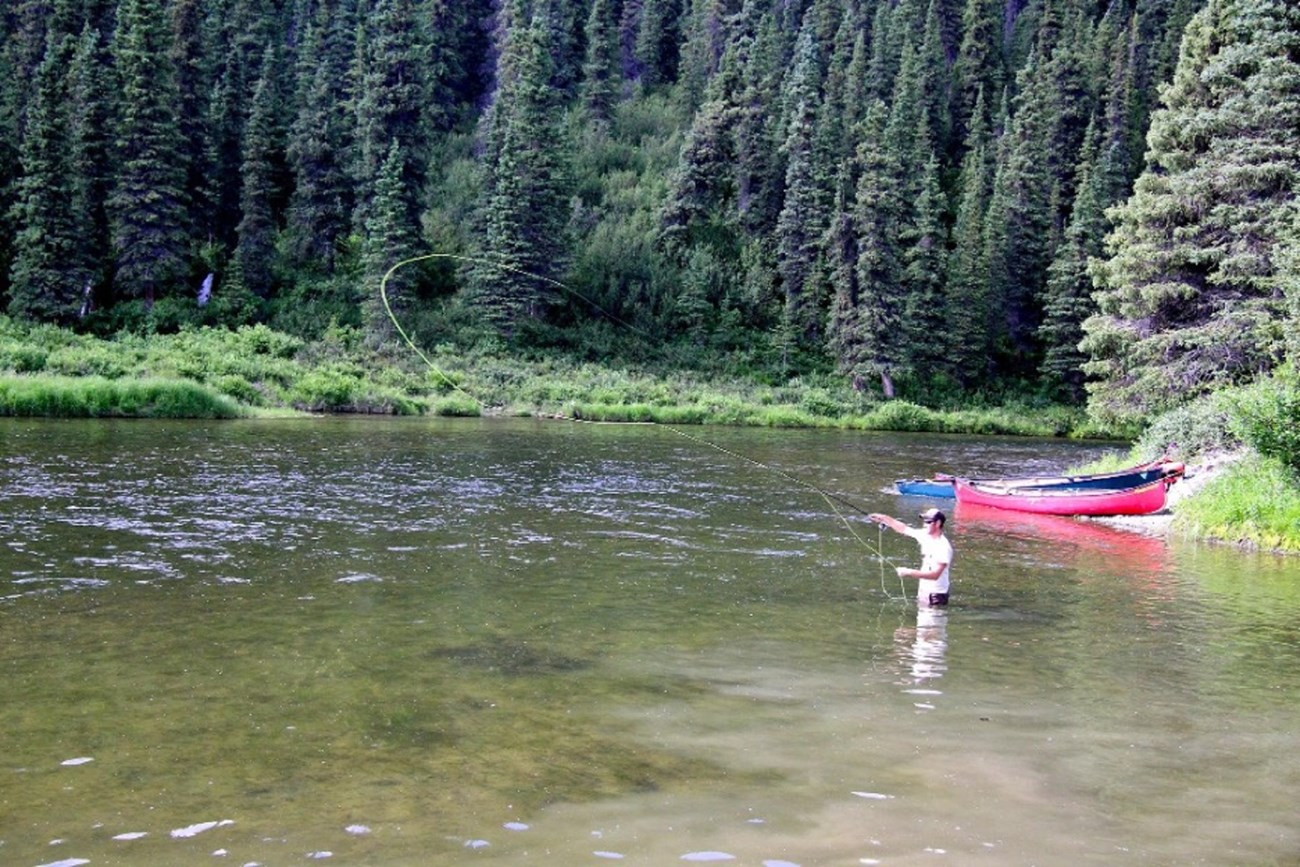
BLM / Jeremy Matlock
Content submitted by James Major, River Management Society
The River Management Society, in partnership with the Bureau of Land Management (BLM), has added 13 segments of Alaska’s National Wild and Scenic rivers administered by the BLM to the nation’s most authoritative interactive map and database, the National Rivers Project (NRP). Additionally, 16 access points to these segments were added to the database along with seven campgrounds.
NRP is a growing national rivers geospatial map and database chronicling nearly 2,000 segments of North American rivers with helpful information like access points, fishing information and campsite locations. The inclusion of the 640 miles administered by the BLM completes the GIS-based mapping for all boatable federal Wild and Scenic Rivers in the State of Alaska, joining those administered by the US Fish and Wildlife Service (USFWS) and National Park Service.
This addition includes segments of Birch Creek, Beaver Creek, Unalakleet River, Delta River, Tangle River and Gulkana River, along with seven segments of the Fortymile River system. Using the NRP’s interactive map, paddlers can now easily plan trips ranging from one to two days on the Fortymile to paddling what may be the longest road-to-road float in North America, from the Beaver Creek Wild and Scenic section at Nome Creek to the Yukon River Bridge. The more accessible segments include the Delta and Tangle Rivers, accessed by the Richardson and Denali Highways. For those seeking more remote adventures, several rivers are accessible only by air.
