
Loading...
Basic Information
Amenities Fire/Stove Policy Toilet Types Shower Types Weather Email Address Phone number (Voice) Mailing Address Physical Address Directions Additional Information Cell Phone Additional Information Internet Additional Information Regulations
Image Gallery
Accessibility Information
MapView a map showing all campgrounds in Yosemite National Park [2 MB PDF] 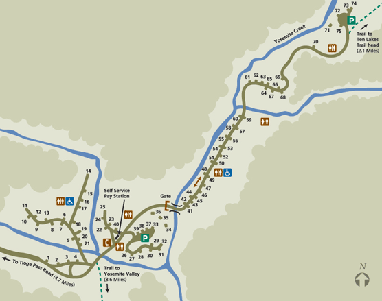
|
Last updated: March 28, 2023