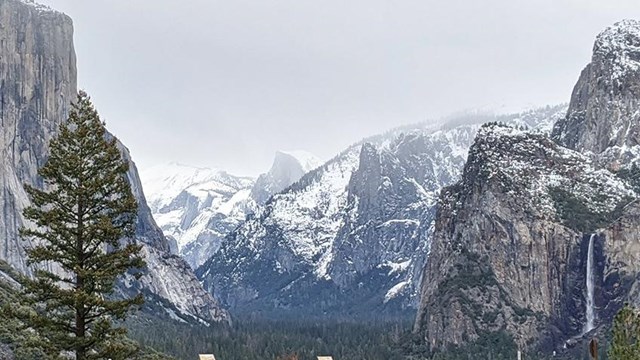
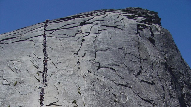
Skip to SearchSkip to NavigationSkip to BodySkip to Footer
National Park Service LogoU.S. Department of the InteriorNational Park ServiceNational Park Service
National Park Service:  U.S. Department of the InteriorNational Park Service Arrowhead
Yosemite National Park Half Dome as seen from North Dome
view map
text size: largest larger normal
printer friendly

Not just a great Valley...

but a shrine to human foresight, strength of granite, power of glaciers, the persistence of life, and the tranquility of the High Sierra.
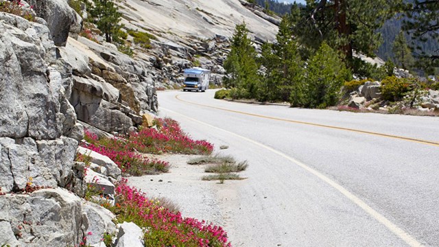
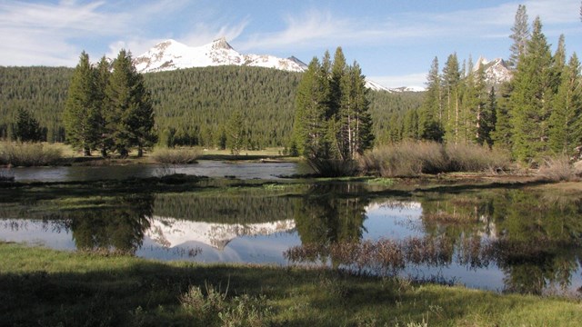
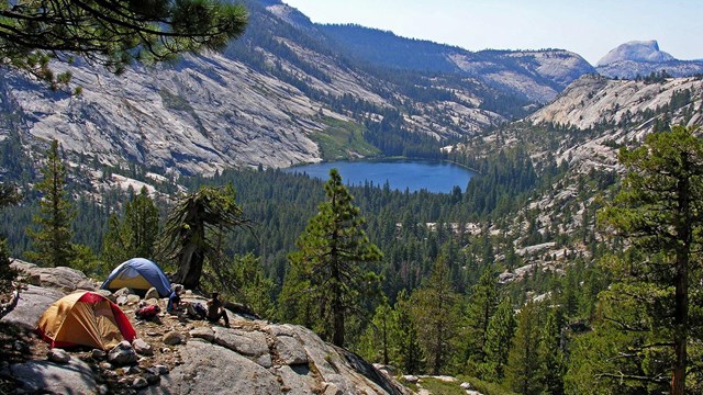
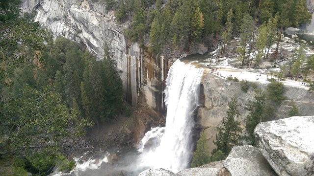
Yosemite National Park, one of the first wilderness parks in the United States, is best known for its waterfalls, but within its nearly 1,200 square miles, you can find deep valleys, grand meadows, ancient giant sequoias, a vast wilderness area, and much more.

 
People lined up on the Half Dome cables

Permits to hike to the top of Half Dome now required

In order to increase safety along the Half Dome cables, all people using the Half Dome Trail above the subdome must have a permit in possession on Fridays, Saturdays, Sundays, and federal holidays when the cables are up.

Permits are not required Mondays-Thursdays (except on holidays).

Learn more about Half Dome permits...


Ranger Bob Fry speaking to visitors during a ranger walk

Have questions about visiting?


Write to

PO Box 577
Yosemite National Park, CA 95389

E-mail Us

Phone

Visitor Information
(209) 372-0200

Climate

Yosemite receives most of its precipitation in the months of January, February, and March. Summers are typically warm and dry. Spring and fall are transitional months, when warm, sunny days can suddenly become stormy. Clouds can build up during the summer to produce spectacular thunderstorm activity.
more...
Skip to SearchSkip to NavigationSkip to BodySkip to Footer
Visitor crossing Tioga Road near trailhead

Did You Know?
The Tioga Road is the highest trans-sierra route in California, crossing Tioga Pass at 9,945 feet in elevation.
more...