Last updated: April 20, 2018

Storm Refuge
Storm Refuge system. a large submerged chain lays on the ocean floor and is designed for berthing vessels up to 60 feet in length.
Official websites use .gov
A
.gov website belongs to an official government
organization in the United States.
Secure .gov websites use HTTPS
A
lock (
) or https:// means you've safely connected to
the .gov website. Share sensitive information only on official,
secure websites.
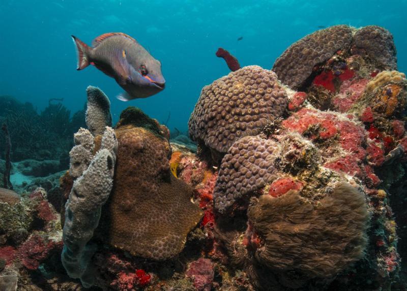
Virgin Islands Coral Reef National Monument includes federal submerged lands within the 3-mile belt off the island of St. John. These waters support a diverse and complex system of coral reefs and other ecosystems such as shoreline mangrove forests and seagrass beds.

Storm Refuge system. a large submerged chain lays on the ocean floor and is designed for berthing vessels up to 60 feet in length.
Last updated: April 20, 2018