|
To view the standard interactive park map, use the drop-down menu in the upper left corner of the map below to change the selection from "Brochure Map" to "Standard Map". The "Standard Map" option displays an interactive map where you can click on points of interest to read more and shows the park's location relative to the surrounding areas. The "Brochure Map" offers a more focused map on the Upper Delaware River corridor with easy-to-access information on river mileage, river accesses, and park amenities.

Interactive Maps to Use Offline
Download the free NPS app for access to maps of every national park—that work both online and off! 
Brochure Maps
Download the Upper Delaware Scenic & Recreational River Map and other NPS brochure maps! 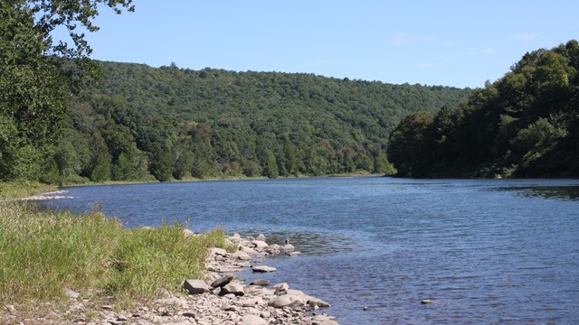
Public River Access Points
Planning a river trip on the Upper Delaware? Check out the public accesses where you can start and end your journey. 
Paddling Times & Distances
Do your research on the distance and average paddling time in-between public river accesses to help the length of your river trip. 
Directions & Transportation
Directions and Transporation information on how to get to the park. |
Last updated: May 13, 2025