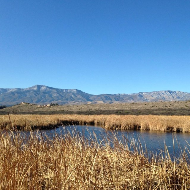
Tuzigoot National Monument lies midway between the towns of Cottonwood and Clarkdale, in Yavapai County, Arizona. The area is transitional between two physiographic provinces, the Basin and Range to the west and south, and the Colorado Plateau to the north and east. The Verde River is within the Central Highlands water province. The most distinctive feature of the Central Highlands is the Mogollon Rim, which extends more than 200 miles from the White Mountains of eastern Arizona to the headwaters of the Verde River on the western side of the state. Elevation exceeds 7000 feet along the Mogollon Rim, only 20 miles to the north. Climatalogical data from nearby weather stations indicate that this area is characterized by mild winters and moderate summers. Daily minimum temperatures below freezing occur between December and March. Summer temperatures often exceed 100 F. Annual precipitation ranges from about 4 to 22 inches, with an average of about 12 inches. This precipitation is largely seasonal, with about 80% of the total falling during winter and summer. About one-third of the mean annual precipitation falls in winter (December through March), usually as rain. This precipitation is related to the eastward movement of middle-latitude storms that form in the northern Pacific Ocean. These storms may produce major floods in the area, especially when rain falls on snowpack at higher elevations to the north. One-third to one-half of the precipitation falls in summer (July through September), usually as the result of short, intense storms that may produce flash floods.