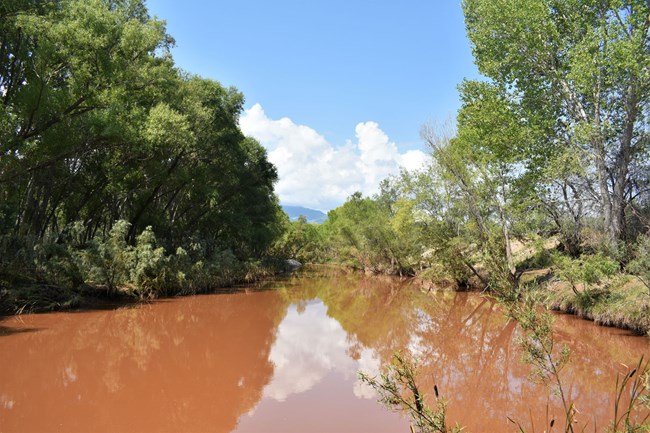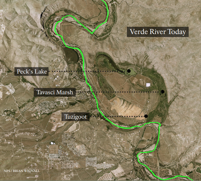
NPS Rachel Wilkin The Verde RiverThe Verde River is as precious a resource to modern-day inhabitants of the Verde Valley, as it was to the people who built Tuzigoot pueblo a thousand years ago. Draining an area of approximately 6,188 square miles, the Verde flows from its source near Paulden to its confluence with the Salt River over 190 miles away. Because many of its tributaries drain areas of significantly higher elevation that receive more rainfall than the valley itself, floods can occur during the winter, spring, and summer. Eight stream gaging stations operated by the U.S. Geological Survey are located within the watershed. Up until the 1890s the Verde was in places over a mile wide, creating a series of marshes and sloughs, and providing habitat for a wide variety of native species. A severe flood event in 1893 and decades of human manipulation have resulted in the incising of the river into its present channel. Today, over 270 species of birds, 94 species of mammals, and 76 native amphibians use the watershed at some point in their lifecycles. While water quality in the river is generally good, past mining operations have had a negative effect. High levels of sodium, turbidity, boron, mercury, iron, ammonium, and selenium are often recorded. Dedicated volunteers, trained in water quality monitoring, document the condition of the water on a regular basis. Today, the primary threat to the perennial river is from unmanaged ground pumping and diversions of surface water. Ditches channel the flow for the growing of crops in the communities of Cottonwood and Camp Verde. Between these two towns, the river flows through mostly private land. 
NPS Tavasci MarshSevered from the Verde River nearly 10,000 years ago, Tavasci Marsh is the largest freshwater marsh in Arizona unconnected to the Colorado River. Unfortunately, the intense human and mining developments within and around Tavasci Marsh until the early 1990's severely reduced the presence of native vegetation and wildlife. NPS acquired the marsh as a part of the Tuzigoot property in 2005 and began endeavors to study, rehabilitate, and enhance this unique habitat. The first Tavasci Marsh area homesteader's deed was issued to Harriet M. Hawkins in 1884, who attempted to irrigate and cultivate the riparian zone. By 1900 the ownership was transferred back and forth between the O'Shea family and United Verde Copper Company, until 1928 when it was taken over by the Tavasci family and their dairy farm. |
Last updated: January 6, 2023
