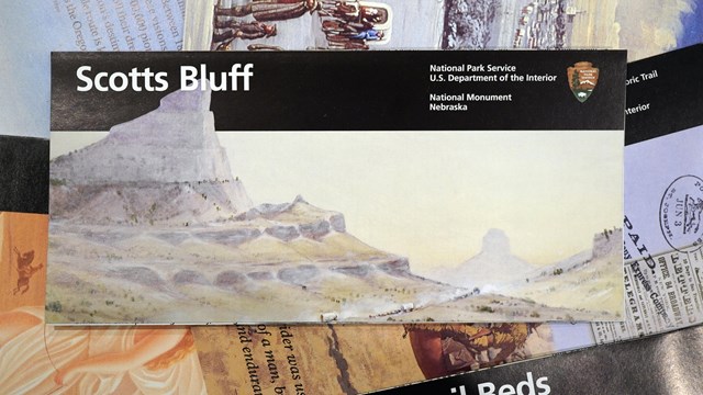
Brochure Maps
Download NPS brochure maps for Scotts Bluff National Monument and other sites! 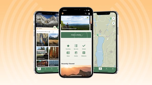
The National Park Service app
Download the free NPS app for access to maps of every national park—that work both online and off! |
Last updated: May 11, 2024