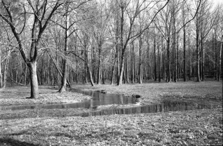
NPS photo. Beaver Dam Creek The park preserves a section of the two-mile front that Confederates unsuccessfully attacked on June 26. The bold advance, combined with the arrival of "Stonewall" Jackson's command, convinced Union commander George B. McClellan to order a withdrawal to high ground near Gaines' Mill. Take the short trail beginning at the parking area that leads across the creek through an area where Southern casualties were particularly heavy. Exhibits along the way describe the fighting from both the Union and Confederate positions. 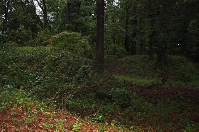
NPS photo. Chickahominy Bluff
On the morning of June 26, 1862 more than 20,000 Confederate infantrymen gathered here prior to their advance across the Chickahominy River. Nearby on horseback sat General Robert E. Lee, watching and listening for the movement beyond the river signaling the opening of his offensive east of Richmond known as the Seven Days battles. An audio exhibit atop the overlook platform offers an introduction to the fighting on June 26. The site also contains the remains of Confederate earthworks built to defend Richmond.
Ausra Huntington/NPS photo Chimborazo Medical Museum
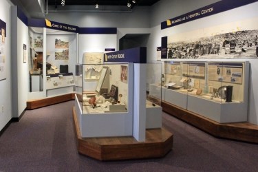
Chimborazo became one of the Civil War's largest military hospitals. When completed it contained more than 100 wards, a bakery and even a brewery. Although the hospital no longer exists, a museum on the same grounds contains original medical instruments and personal artifacts. Other displays included a scale model of the hospital and a short film on medical and surgical practices and the caregivers that comforted the sick and wounded.
NPS photo. Cold Harbor
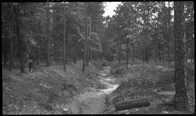
Cold Harbor is the best known battlefield in the park. For two weeks, May 31 – June 12, 1864, the armies of Robert E. Lee and Ulysses S. Grant tangled in a complicated series of actions. A determined Confederate defense turned away a massive Federal attack on June 3 and helped convince Grant to maneuver south and advance on Petersburg. The visitor center includes a digital map program for Cold Harbor and Gaines' Mill, exhibits, and a small bookstore. A one-mile drive parallels and crosses significant stretches of both the Confederate and Union entrenchments, all of which are original to 1864. A series of walking trails, ranging from one mile to nearly three miles, takes visitors through the site.
NPS photo. Drewry's Bluff
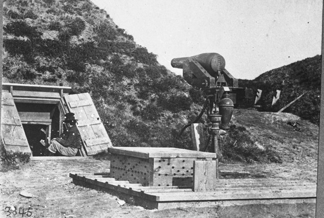
Constructed between March and May 1862, Fort Drewry, known as Fort Darling by Union forces, on Drewry's Bluff stood as a vital bastion blocking the progress of the U. S. Navy up the James River toward Richmond. A decisive battle on May 15, 1862, permanently ended the Union naval threat to the capital city when defenders defeated theUSS Monitorand four other warships. Eventually the Confederate States Marine Corps Camp of Instruction and the Confederate States Naval Academy operated at the bluff. Today the fort survives intact, with a one mile walking trail and numerous exhibits. A viewing platform offers a sweeping vista of the James River and the May 15 battlefield.
Robert Underwood/NPS photo. Fort Harrison
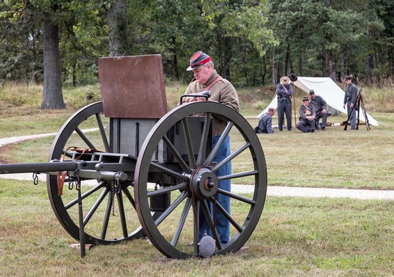
A seven mile drive links several key sites along Richmond's outer defenses. In September 1864, Fort Harrison stood as the strongest fort in the city's earthen defenses. Union troops crossed the James River and struck the line on September 29, capturing Fort Harrison. Confederate defenders succeeded in holding the adjacent defenses (Fort Gilmer, Fort Gregg, Fort Johnson, and Fort Hoke) after heavy fighting. Six months of semi-siege warfare followed, during which Union soldiers built a corresponding line of fortifications. Exhibits all along the lines describe these events, with the enormous earthen walls as a fitting backdrop. Short walking trails exist inside Fort Harrison and Fort Brady. A small visitor center beside Fort Harrison is open seasonally and offers an orientation and restrooms. This area is the most suitable spot in the park for bicycling.
NPS photo. Gaines' Mill
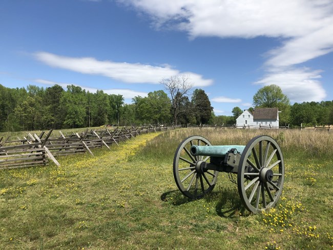
On June 27, 1862 Union and Confederate soldiers fought the bloodiest battle of the Seven Days. In one day 15,000 men fell killed, wounded or captured. The historic Watt House still stands and served as Union General Fitz John Porter's headquarters. Follow the one-mile walking trail along Boatswain Creek past the site where Hood's Texas Brigade broke through the line and helped force the collapse of the Union position. Along the trail are historic markers, a monument to General Wilcox's Alabama brigade and a battlefield overlook that reveals a landscape little changed since the battle.
NPS photo. Garthright House
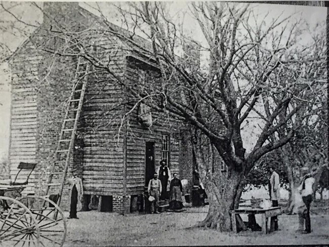
The historic home is believed to date (in part) from the 1700's. A witness to both Gaines' Mill and Cold Harbor, the house saw service as a hospital. Although it is not open to the public there are exterior exhibits. Directly beside the house is the Hanover County Cold Harbor Park, which includes a walking trail through some of the reserve Union positions from the 1864 battle, and a picnic area. The Cold Harbor National Cemetery across the street contains nearly 2000 Civil War era burials, including most of the Union dead from the two large area battles. There are monuments there to Pennsylvania and New York soldiers, as well.
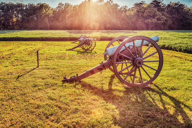
Robert Underwood/NPS photo. Malvern Hill Battlefield
On July 1, 1862, a large portion of the Confederate army made poorly coordinated attacks up the slope of Malvern Hill into the face of a strong Union defense. The power of the Federal artillery and the natural strength of the hill contributed to the Confederate defeat in the final battle of the Seven Days Campaign. Today Malvern Hill is the best preserved battlefield in the Richmond area. An extensive walking trail covering nearly two miles has access from two parking lots, allowing visitors to examine the site from nearly every perspective. An audio podcast walking tour is available by following the links at this website.
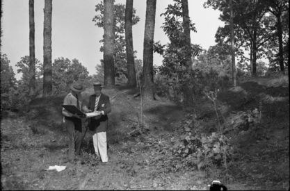
NPS photo. Parker's Battery
Located on the edge of the Bermuda Hundred peninsula between Richmond and Petersburg, this site is a typical stretch of the Confederate "Howlett Line" that stood from May 1864 into April 1865. Named for the artillery company that defended the spot, Parker's Battery has a short walking trail through original fortifications. A monument commemorates Parker's "Boy Company," most of whose members hailed from Richmond.
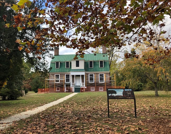
NPS photo. Totopotomoy Creek at Rural Plains While Civil War battles took place at this site, its history extends to back before the Civil War. On the property is the Shelton House, which was built by the wealthy Shelton family in about 1723 and remained inhabited by the same family for over 280 years before being sold to the National Park Service in 2001. The family had direct ties to the Revolution, as Sarah Shelton was married to Patrick Henry, possibly in the Shelton House. The house saw its most intense action during the Civil War when two Union signalmen relayed messages to their troops while Confederate troops tried to shoot them down, hitting the building at least 50 times, but the Union soldiers survived. |
Last updated: June 6, 2024
