National Park Service LogoU.S. Department of the InteriorNational Park ServiceNational Park Service
National Park Service:  U.S. Department of the InteriorNational Park Service Arrowhead
Pony Express National Historic TrailLanding for Historic Missouri River Crossing at St. Joseph, MO
view map
text size:largestlargernormal
printer friendly
Pony Express National Historic Trail
Auto Tour Route - Utah
Below are driving directions to follow the Pony Express National Historic Trail west through Utah, from Wyoming to Nevada. A simple map showing the general route is below the directions.

 From the Wyoming - Utah state border:

1. Take Interstate 80 west to Interstate 84.
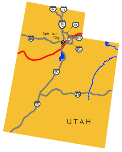
2. Turn west onto Interstate 84.
3. Take Interstate 84 west to State Route 65.
4. Turn south onto State Route 65.
5. Take State Route 65 south to Interstate 80.
6. Turn west onto Interstate 80.
7. Continue west on Interstate 80 through Salt Lake City and to Nevada.


Total original route miles in Utah: 241

Back to auto route map page.

 
Map image showing the auto tour route driving directions across Utah.
NPS Image
Map image showing the auto tour route driving directions across Utah.
Prairie falcon  

Did You Know?
Prairie falcons sometimes nest in the cracks of Devils Tower. Climbing routes near the nest are closed until the young falcons fledge.

Last Updated: November 02, 2006 at 16:39 EST