National Park Service LogoU.S. Department of the InteriorNational Park ServiceNational Park Service
National Park Service:  U.S. Department of the InteriorNational Park Service Arrowhead
Pony Express National Historic TrailPony Express riders changed horses at a relay station near the Courthouse & Jail Rocks in western Nebraska
view map
text size:largestlargernormal
printer friendly
Pony Express National Historic Trail
Auto Tour Route - California

Below are driving directions to follow the Pony Express National Historic Trail west to California, from Nevada. A simple map showing the general route is below the directions.


From the Nevada - California state border:

 1. Take U.S. Route 50 west to Sacramento and the end of the Pony Express National Historic Trail.


Total original route miles in California:
223
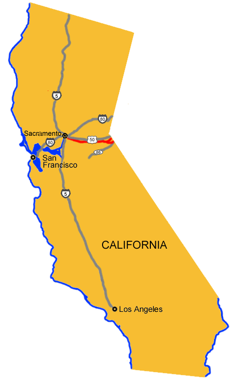
Back to auto route map page.

 
Map image showing the auto tour route driving directions into California.
NPS Image
Map image showing the auto tour route driving directions into California.
Gray Fox  

Did You Know?
A climbing canine? That’s right, gray foxes can climb trees! Due to their curved claws, the gray fox is the only canine native to North America that can actually climb a tree.

Last Updated: November 02, 2006 at 16:54 EST