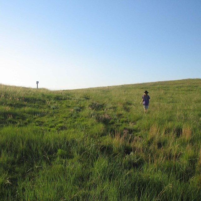
 |
| End of the Oregon Trail Museum | |
 |
There are a number of ways to enjoy the Oregon National Historic Trail including auto-touring, visiting interpretive sites, hiking, biking or horseback riding trail segments and visiting museums. Depending on which segment you would like to explore, some or all of these activities may be available.
Although the word "trail" is used in the name, the Oregon NHT is not a true hiking trail. With 2,170 miles of the original route now in the hands of various private and public entities, access to trail segments depends upon the permission of the land owner. Some segments are open to the public for hiking and other means of recreation, while others are not.
Following is a list of suggested activities for getting to know the Oregon NHT. Inquiries about trail segments not listed are best made locally. See the Links and Resources, Trail Sites and the Oregon Trail Auto Tour Route driving directions for more information.
Camping
The National Park Service does not offer any camping facilities along the trail. Inquire at local trail resource site for camping opportunities. (see Links and Resources page).
Short Hikes (usually less than 300 yards) to trail ruts or historic sites
-
Minor Park Ruts, Red Bridge Crossing of the Blue River in Kansas City, MO
-
Alcove Springs in Blue Rapids, KS
-
in Fairbury, NE
-
near Lowell, NE
-
California Hill in Brule, NE
-
in Lewellen, NE
-
/Mitchell Pass in Gering, NE
-
/Bedlam Ruts in Fort Laramie, WY
-
/ in Guernsey, WY
-
Avenue of Rocks on Poison Spider Road west of Casper, WY
-
on the Sweetwater River in WY
-
Devils Gate on the Sweetwater River in WY
-
South Pass near South Pass, WY
-
west of American Falls, ID on I-86
-
in Burley, ID
-
in Hagerman, ID
-
-
C.J. Strike Ruts on Hwy 78 west of Glenn's Ferry, ID
-
in Boise, ID
-
Keeney Pass in Vale, OR
-
in Baker City, OR
-
at Blue Mountain Crossing in La Grande, OR
-
Echo Meadows in Echo, OR
-
Wells Spring at the south edge of Boardman Bombing Range, OR
-
Fourmile Canyon south of Arlington, OR
-
Barlow Pass on Hwy 26, OR
-
Laurel Hill on Hwy 26 between mile posts 50 and 51, OR
-
West Barlow Tollgate on Hwy 26 between mileposts 50 and 51, OR
Hiking access to extensive trail segments
-
South Pass Segment: Independence Rock to Parting of the Ways, 125 miles
-
South Pass near South Pass City, WY
-
Bear River Divide Segment: US 189 to WY 89, 31 miles
-
Blue Mountain Segment in LaGrande, OR to Mount Emily interchange off I-84: 17 miles
-
Boardman Segment at the Boardman Bombing Range, OR: 12 miles
-
from Barlow Gate to Barlow Tollgate: 32 miles
4x4 and horse access over extensive trail segments
-
Oregon Trail Road: Mills, WY to WYO-220 just north of Independence Rock, 41.5 miles
-
South Pass Segment: Independence Rock to Parting of the Ways, 125 miles
-
Parting of the Ways: end of the South Pass segment
-
Bear River Divide Segment: US 189 to WY 89, 31 miles
-
Blue Mountain Segment in LaGrande, OR to Mount Emily interchange off I-84: 17 miles
-
Barlow Road Segment from Barlow Gate to Barlow Tollgate: 32 miles
Major Trail Museums
-
in Independence, MO
-
in Bridgeport, NE
-
in Gering, NE
-
, Casper, WY
-
in Baker City, OR
-
in Oregon City, OR
Top of Page
|