
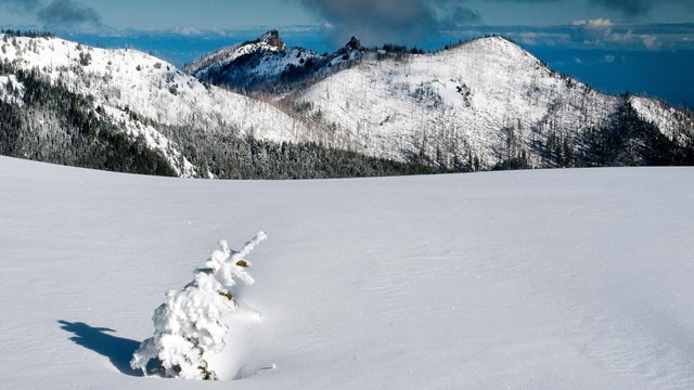
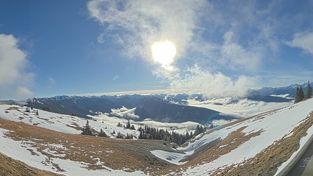
NPS Photo Weather and conditions at Olympic can change quickly. For a safe and enjoyable trip, check current Alerts & Conditions as well as the road, campground, weather, and trail conditions linked below before your visit. Current road, campground, and weather information is also available by calling the recorded information line at (360) 565-3131. 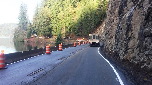
Alerts & Conditions
Don't be caught unaware! Check our Alerts & Conditions page before your visit. 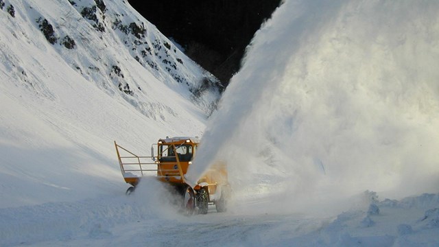
Current Road Closures
Find out which roads are open and closed. 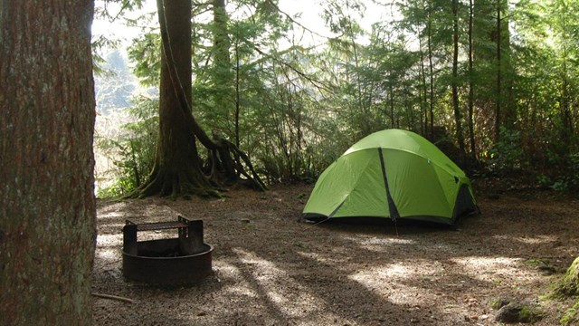
Campground Status
Is the campground you're visiting open or closed? Find out here! 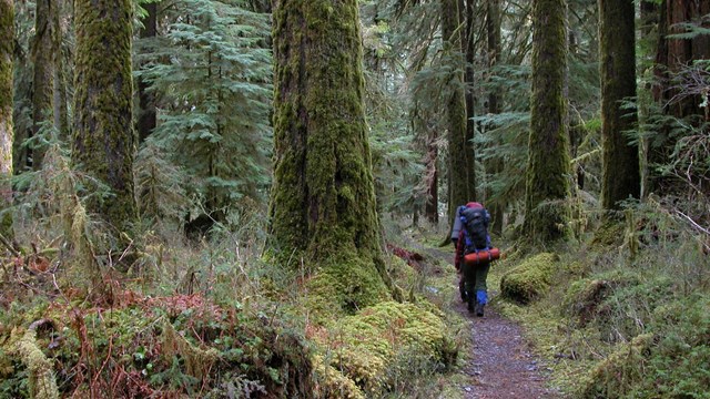
Trail Conditions
Learn about trail conditions here. |
Last updated: April 18, 2024