|
No roads lead into Stehekin or Lake Chelan National Recreation Area. All campgrounds require at least minimal walking to reach campsites from the public ferry docks, airstrip, and trails. All backcountry and wilderness camping in the park complex requires a backcountry permit which during the peak season should be obtained in advance before arriving in Stehekin. From October to May, use the self-permiting station located outside the Golden West Visitor Center. Popular backcountry camps in and near Stehekin Valley include High Bridge, Tumwater, Bridge Creek, and Rainbow Bridge. 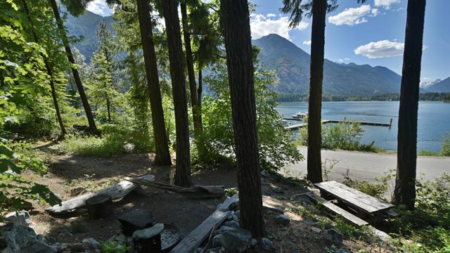
Purple Point Campground
Located near Lake Chelan, Purple Point Campground is a ten minute walk from the boat dock at Stehekin Landing 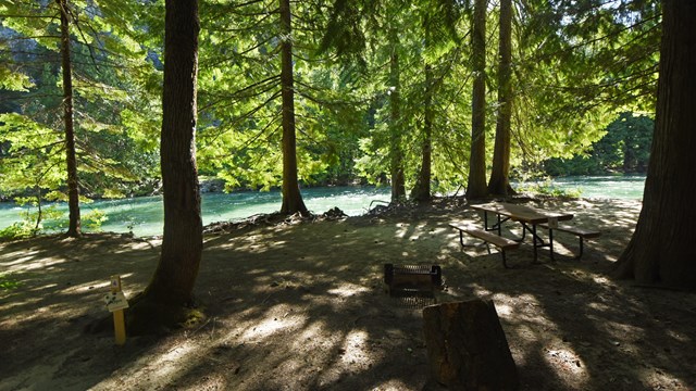
Harlequin Campground
Harlequin Campground is located on the Stehekin River in Lake Chelan National Recreation Area, 4.5 miles up the Stehekin Valley Road. 
Lakeview Campground
Lakeview Campground is a five minute walk from the boat dock at Stehekin Landing. 
Backpacking
Learn about the many overnight backcountry options in the North Cascades. |
Last updated: August 5, 2023