
Take a Hike!
Take a walk amidst the ferns and beneath the towering redwoods of Muir Woods National Monument. 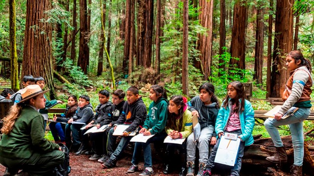
For Kids
Enjoy the park with your family. 
Ranger Led Programs at the Woods
Sign up for an interpretive program 
Explore Muir Beach
Located on the Pacific Coast three miles west of Muir Woods Get more information |
Last updated: February 15, 2024