An official website of the United States government
Here's how you know
Official websites use .gov A
.gov website belongs to an official government
organization in the United States.
Secure .gov websites use HTTPS A
lock (
) or https:// means you've safely connected to
the .gov website. Share sensitive information only on official,
secure websites.
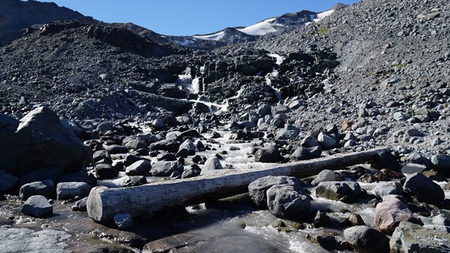
Emerald Ridge along the Wonderland Trail on the west side of Mount Rainier.
NPS/C. Roundtree Photo
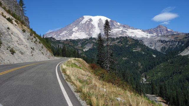
The Wonderland Trail is about 93 miles (150 km) long and encircles Mount Rainier. It is a strenuous hike with about 27,000 feet (8,230 m) of elevation gain and 27,000 feet (8,230 m) of elevation loss, through lowland forests and valleys and into high alpine and subalpine areas. The Wonderland Trail is typically mostly snow-free from mid-July to October. Please check current trail conditions before starting your hike. In an average snow year it is not advisable to hike the Wonderland Trail until mid- to late July. Anything earlier requires winter travel skills including expert skills in navigation, ice-axe self arrest, fording dangerous glaciated rivers, and more.
Perhaps the biggest aspect in planning to hike the Wonderland Trail is you knowing your hiking skills, abilities and habits. Rangers cannot tell you that. Nobody knows your skill level better than you. This is important when laying the foundation for your trip: selecting the proper distance between campsites. Do you live and hike primarily in mountainous terrain and climates, or lower elevation areas? Hiking on flat terrain for 93 miles is far easier than having to climb up three thousand feet with a full pack day, after day, after day. This sounds like something that should not have to be stated, but we often see hikers going beyond their skill level. This usually leads to injury, illness, misery and an early end to a long-planned trip.
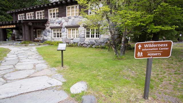
A wilderness permit is required for all overnight camping in the park. Due to high demand during the summer season, it is strongly recommended to make a wilderness permit reservation if you are planning to hike the Wonderland Trail. Hikers doing the complete Wonderland Trail are limited to camping in designated camps only - the use of cross-country zones is not permitted.
Fires, pets, bicycles, and other wheeled devices are not permitted in the backcountry at Mount Rainier. Although firearms may be possessed or carried in accordance with Washington State law, use of firearms throughout the park including backcountry areas remains prohibited. Please review the park's laws and policies.
Plan a Wonderland Trail Trip
The documents and webpages linked below provide information to help plan your Wonderland Trail trip:
The Wonderland Trail has eighteen trailside wilderness camps and three non-wilderness camps. NOT ALL CAMPS HAVE GROUP SITES. Parties with 6-12 people will need a camp that has a group site. There is no wilderness or non-wilderness camping at Longmire.
Wonderland Trail camps, hiking from Longmire in a clockwise direction:
There are two wilderness camps on the alternate route of the Wonderland Trail through Spray Park. They are:
Eagle's Roost- (no group site) 4,936 feet
Cataract Valley- 4,575 feet
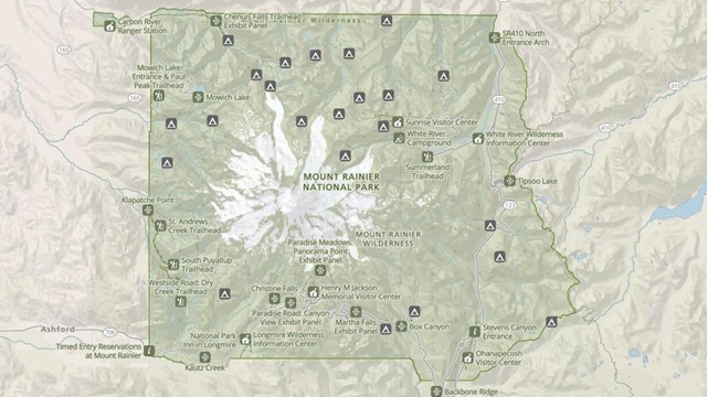
Trailheads along the Wonderland Trail
The Wonderland Trail can accessed from several trailheads around the park. Depending on which trailhead you use, the overall mileage of the Wonderland Trail route can vary. Some of the trailheads are for trails that intersect with the Wonderland Trail.
Wonderland trailhead mileages, hiking from Longmire in a clockwise direction:
Trailhead
Clockwise Mileage from Longmire to Wonderland Trail Intersection
Mileage from trailhead to Wonderland Trail Intersection
Longmire
0
0.1
Mowich Lake
34.3
0
Sunrise Parking Lot
57.4
0.5
White River Campground
60.3
0
Cowlitz Divide Trail
76.4
3.9
Box Canyon
79.7
0.03
Reflection Lakes
87.1
0
Narada Falls
88.6
0.2
Cougar Rock Campground
92.4
0.1
Hiking the Wonderland Trail
The Wonderland Trail can be hiked as a full loop or in sections. There are also options for hiking portions of the trail as a day hike.
Wonderland Trail segments, hiking from Longmire in a clockwise direction: