Fall Canyon

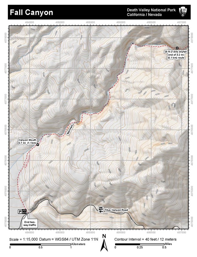
Topographic map of Fall Canyon Death Valley National Park
Topographic map of Fall Canyon - Death Valley

NPS - Dan Kish

Length: 6 mile (9.7km) out and back, round trip
Time: 3.5 hours round trip
Difficulty: Moderate to Difficult
Elevation Gain: 2,460 ft (752m)
Location: The 2.7 mile (4.3km) unpaved two-way section of Titus Canyon Road is located 11.9 miles north of CA-190 on Scotty's Castle Road. The road is typically passable to sedans.
Parking: Open gravel parking area not recommended for large RV's or buses.
Closest Restroom: Vault toilet in the parking lot.

GPS Data: GPS data for the unmarked route is for supplemental purposes only. Take a map and compass when exploring the trail-less wilderness.
  • GPX file: (universal format for use in most mobile applications and GPS units).
  • KML file: (used with some mobile applications and Google Earth & Maps).
 
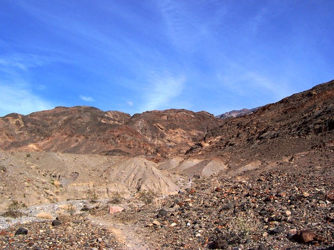
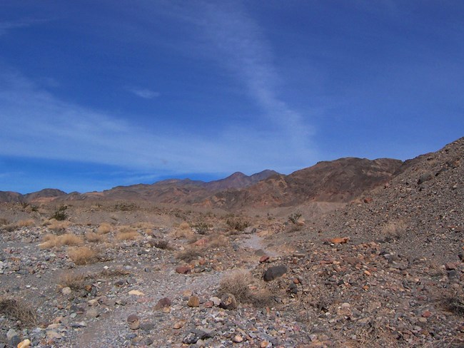
An unmarked trail over rocky terrain under bright blue sky.
Route to Fall Canyon.

NPS - Dan Kish

Route Description

From the mouth of Titus Canyon, find the footpath behind the primitive restroom. While Titus Canyon is technically a road, it offers sightseers a chance to experience a deep canyon without a strenuous hike and is worth exploring either before or after your trek into Fall Canyon.
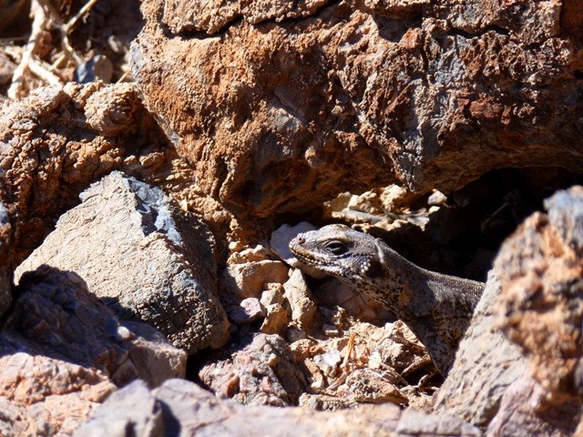
 
A large Chuckwalla (common lizard in Death Valley) is hiding beneath a boulder with only its head and front legs exposed.

NPS - Dan Kish

The path to Fall Canyon from the restroom runs northwest across alluvial fan deposits along the base of the towering Grapevine Mountains. Along the way, look for chuckwallas sunbathing on or hiding between boulders near the path.
 
A trail through rocky terrain drops into a dry wash which later turns into a canyon in the reddish brown mountains.
Safely descend into the wash.  Caution - loose footing!

NPS - Dan kish

In just less than 1 mile (1.6km), the path drops steeply into a well defined wash. The rocky slope is composed of loose gravel. Use caution.
 
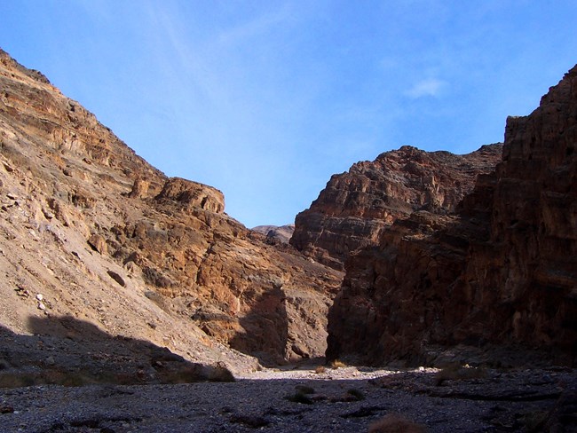
The mouth of a canyon with orange and black banded walls
Mouth of Fall Canyon

NPS - Dan Kish

Once down into the wash, begin heading east (right) up the drainage. Almost immediately, the mouth of Fall Canyon comes into view.
 
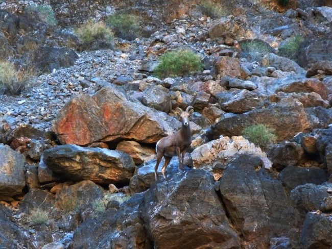
A Desert Bighorn Sheep stands upon a boulder on a canyon wall.
Desert Bighorn Sheep (Ovis canadensis nelsoni)

NPS - Dan Kish

As you work your way up the canyon, farther into the wilderness, keep an eye out for desert bighorn sheep high upon the colorful canyon walls.
 
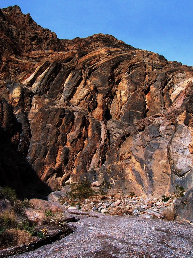
Folded layers of the orange and black Bonanza King formation curve 90 degrees down the canyon wall
The warped walls of Fall Canyon

NPS - Dan Kish

This exposed section of the banded Bonanza King Formation is composed of beautiful stripes of orange and black dolomite and limestone.
 
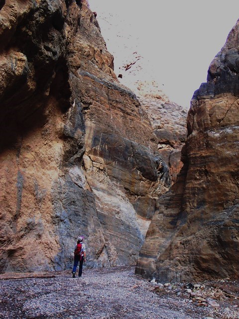
A hiker walks between polished narrow walls of Fall Canyon.
Fall Canyon Narrows

NPS - Dan Kish

Many hikers are drawn to Fall Canyon for the spectacular narrows.
 
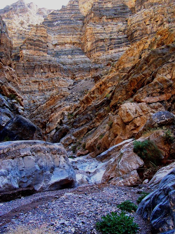
A narrow canyon with polished walls and a gravel bottom.
Polished section of Fall Canyon

NPS - Dan Kish

After 3.2mi (5.1km) a 25ft (7.6m) dryfall blocks further passage up canyon. A bypass is possible for experienced climbers by backtracking down canyon 50ft (15m) and climbing the southern wall. Caution! Expert climbers only! Return via same route.


Last updated: January 13, 2018

Park footer

Contact Info

Mailing Address:

P.O. Box 579
Death Valley, CA 92328

Phone:

760 786-3200

Contact Us