|
UNIT 26
Primrose Ridge, a gentle and expansive area of alpine tundra, is the central feature of this unit. The broad ridge top is surrounded by numerous spur ridges and drainages that lead to the Park Road on the south side and to the Savage River Canyon on the east side. Steeper ridges and rocky canyons form the north side of the main ridge. 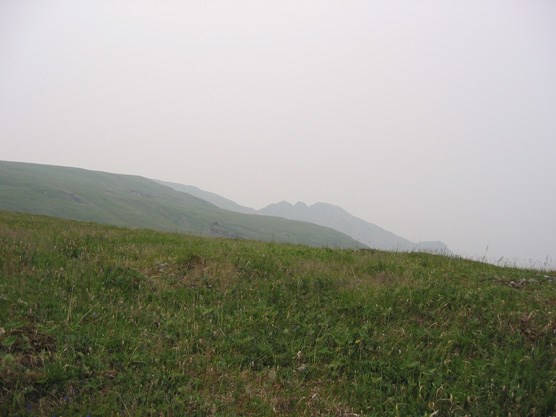
NPS Photo Tips/Special Features Primrose Ridge (also known as Mt. Margaret) is an excellent day or overnight hike. The ridge rises 1,500 feet above the Park Road and consists mostly of dry tundra and rolling hills. The broad top of Primrose ridge provides almost limitless alpine tundra camping opportunities and views of Mount McKinley on clear days. This is a popular day hiking area, so expect to see other people. Go to the northern side of the ridge if you want to avoid some of these users. Also, the drainages on the north side of the ridge are a better bet for water late in the summer.
Primrose Ridge can be accessed from several points along the west side of the Savage River Canyon, utilizing the free Savage River Shuttle. Other access points are ridges that lead up from the Park Road west of Savage River between Miles 17 and 20, but those require the purchase of a camper bus ticket or a 2 – 3 mile walk along the Park Road. A bus ride to the far end of this unit is no more than 45 minutes.
One can hike up Primrose Ridge from many different places. The ascent to the top becomes less steep toward the western portion of the unit where ridges slope down to the Park Road. You can hike up any of these tundra arms after bushwhacking about ¼ to ½ mile. It is also possible to hike north along the Savage River Trail and look for a steep ascent to the top of the ridge on scree and rock. If ascending this eastern side of Mt. Margaret, be cautious of unstable rock. After accessing the main ridge from either the Savage River Canyon or the Park Road, the main opportunity in the unit is to explore the broad expanse of the ridge top. The hiking is easy and the views are spectacular. It is also possible to create a loop by hiking up from the Savage River, walking the main ridge to the west and then descending back to the road on the south. Similar loops are possible that use the northern flank of the main ridge system. There are some brushy sections in the northern portion of the Savage Canyon and on the northern flank, but the majority of the area is still in open terrain.
To camp out of sight of the Park Road, you need to hike to the top of Primrose Ridge. Water can be difficult to find on the open ridge top after the snow patches have melted, but often snow patches remain on the northern side of the ridge. Watch out for lightning storms and high winds on the exposed ridges in the summer months. Keep a safe distance from Dall’s sheep and other animals that frequently inhabit the top of Primrose Ridge. 
NPS Photo |
Last updated: January 30, 2025