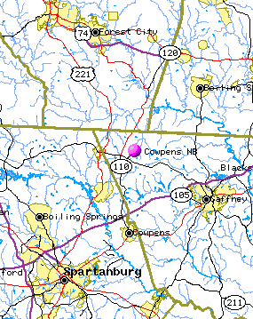
 |
 |
  |
|
|
|
|
 |
| view map |
 |
|
|
|
|
|
|
Cowpens National Battlefield
Directions
|
|
|
|
|
| |
 |
- Directions
- From I-85 northbound, take exit 83. Turn left, on Hwy 110. Drive about 8 miles. At the intersection for Hwys 110, 221, and 11, turn right. The park is about a half mile on the right.
- From I-85 southbound, take exit 92 at Gaffney, west toward Chesnee on Hwy 11. The park is about 10 miles on the left.
- From I-26 eastbound, take exit 5, east toward Chesnee on Hwy 11. The park is about 20 miles on the right.
- From I-26 westbound, take I-85 North, take exit 83. Turn left, on Hwy 110. Drive about 8 miles. At the intersection for Hwys 110, 221, and 11, turn right. The park is about a half mile on the right.
GPS Directional Devices:
To reach the physical address of the Visitor Center please use the following address:
4001 Chesnee Highway
Gaffney, SC 29341
(Make sure to select "Gaffney" and not "Chesnee".
OR
Lat / Long: 35.13394 / -81.81455
| | |
|
|
|
|
|
You are exiting the National Park Service website
Thank you for visiting our site.
You will now be redirected to:
We hope your visit was informative and enjoyable.
|
| |  | | Did You Know? The Battle of Cowpens was named for a pasturing area for cattle - an open area where cattle were driven. more... | | |
|
Last Updated: March 25, 2011 at 13:20 MST |