|
Upper Columbia Basin Network (UCBN) The Upper Columbia Basin Network is one of 32 "Vital Signs" Networks developed to help complete the National Inventory and Monitoring Program's objectives. The Upper Columbia Basin Network is composed of nine units managed by the National Park Service located in Idaho, Montana, Oregon, and Washington. City of Rocks National Reserve is one of the nine units. __________________________________________________________________________________ 
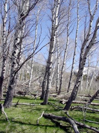
Aspen Monitoring: Quaking aspen is currently undergoing a region-wide decline. Aspen decline in the West has been observed for the past 50 years and is commonly attributed to a decrease in fire frequency, caused by effective fire suppression. Changing fire regimes has allowed an expansion of conifer species into some aspen stands. Another phenomenon is referred to as aspen "die-off', which is possibly a result of drought and early snow melt caused by the warming climate trends. Monitoring Objectives Estimate current status and long-term trend in:
__________________________________________________________________________________ 
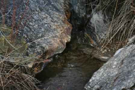
Water Quality Monitoring: Freshwater habitats are diverse and productive ecosystems, providing habitat for aquatic plant, invertebrate, and vertebrate species including many birds. Rivers and streams are intimately connected to riparian zones, providing habitat for many specialist species. Upland animals also rely on aquatic habitats to one degree or another. Water resources in the semi-arid west have been strongly affected by human activity, and all UCBN streams and rivers are listed by states as impaired for one or more parameters. Threats to water resources in City of Rocks have been listed as: ranching and grazing activities; residential development; gas, oil, and mining operations; and recreational use.
__________________________________________________________________________________ 
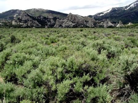
Monitoring Sagebrush Steppe Vegetation: Sagebrush steppe is one of the most threatened ecosystems in the Intermountain West. Substantial portions of the region have been converted to agriculture and heavily grazed rangeland. Much of the remaining sagebrush steppe has been degraded through altered fire regimes and invasion of introduced plants. Historic and current land use practices continue to fragment and alter steppe ecosystems. The predicted climate change scenarios for the regions will likely exacerbate these changes.
__________________________________________________________________________________ You can go to the UCBN website for additional information on inventories and monitoring at City of Rocks National Reserve.
|
Last updated: January 24, 2018
