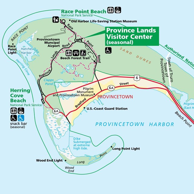
By Car:From Boston area: Take Route 3 south, to the Sagamore Bridge in Bourne. Follow Route 6 eastward to Eastham and Provincetown. From Providence, RI: Take I-95 north to, I-195. Follow Route 6 eastward as described above. Once on Cape, most park features are off Route 6 from Eastham to Provincetown. Stop at a park visitor center, or at a chamber of commerce, to get a map of the local vicinity. Salt Pond Visitor Center, open year round Province Lands Visitor Center, open seasonally By Train:The Cape Flyer offers train service from Boston to Hyannis, with stops in Braintree, Brockton, Middleborough/Lakeville, Wareham Village, Buzzards Bay, and Bourne, on weekends between Memorial Day and Labor Day. Visit the Cape Flyer website for up-to-date schedules and information.
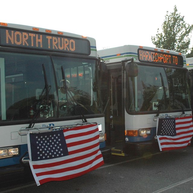
From the Boston area, there are several bus companies that offer direct lines from Boston to Hyannis. Once in Hyannis or on Cape Cod, visit the Cape Cod Regional Transit page for updated bus schedules. The FLEX bus offers routine service from Harwich to Provincetown, daily. Cape Cod Regional Transit also offers a shuttle between downtown Provincetown and park beaches during July and August.
|
Last updated: August 18, 2025