|
This site is 3.9 miles north of Rainbow Point and 3.9 miles (6.3 km) south of Natural Bridge Campsite. Iron Spring .12 miles (.19 km) north of the campsite has reliable but bad-looking water. There is sandy soil, Ponderosas, White Fir, Douglas-fir, Manzanita and groves of young Quaking Aspens, just to the north and to the south. You can get a glimpse of the cliffs above the trees. There are some logs to sit on. If you use the water, be sure to purify by boiling for at least 10 minutes, or use filtering or purifying tablets. Datum WGS 84, 37 29 26.5 N, 112 14 38.2 W. Altitude 7925 feet (2416 m). 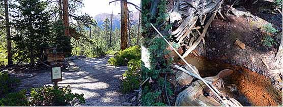
text and images courtesy of Ron Warner |
Last updated: March 31, 2012