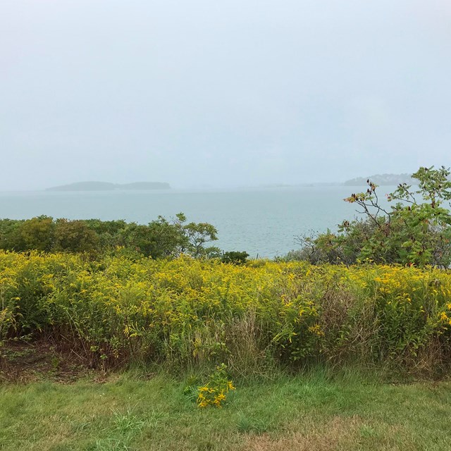
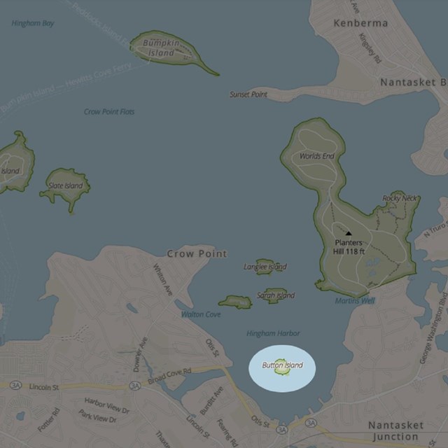
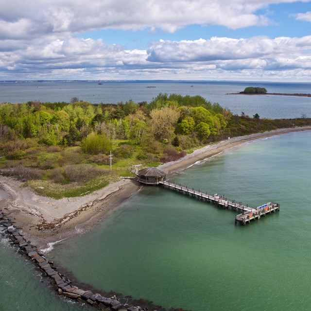
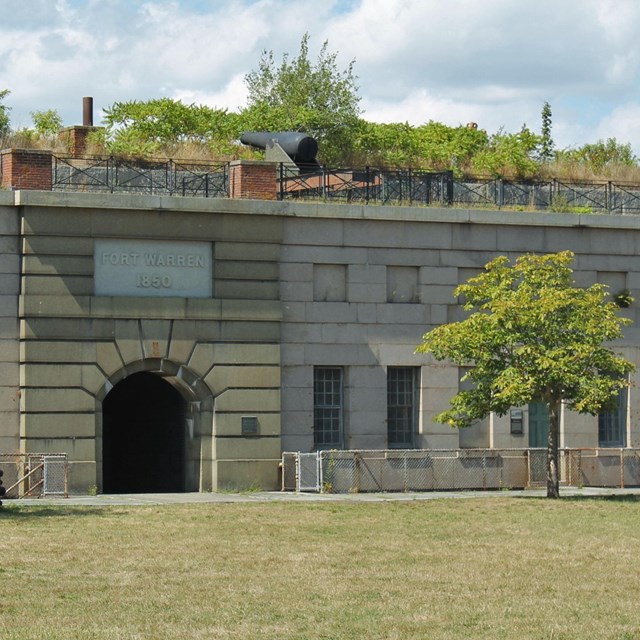
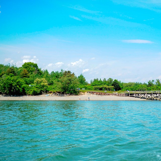
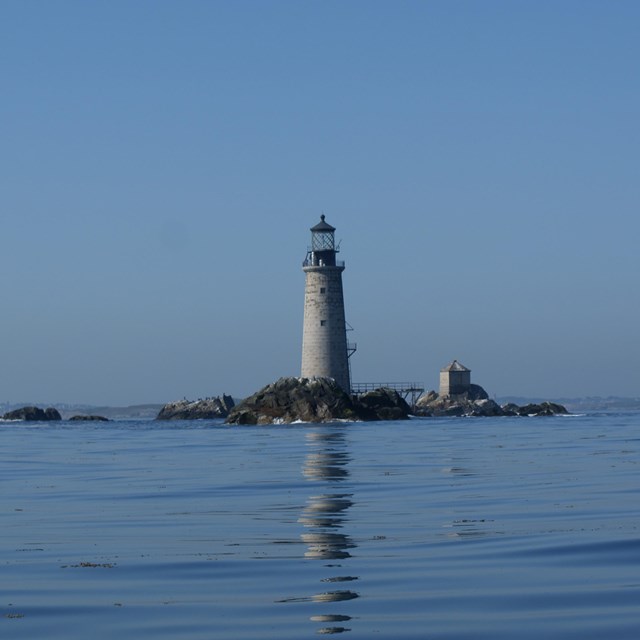
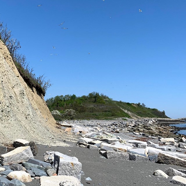
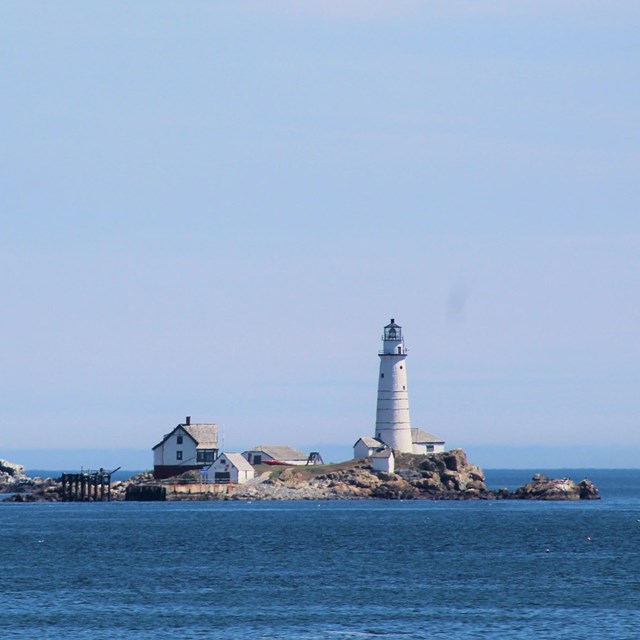
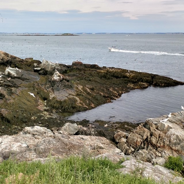
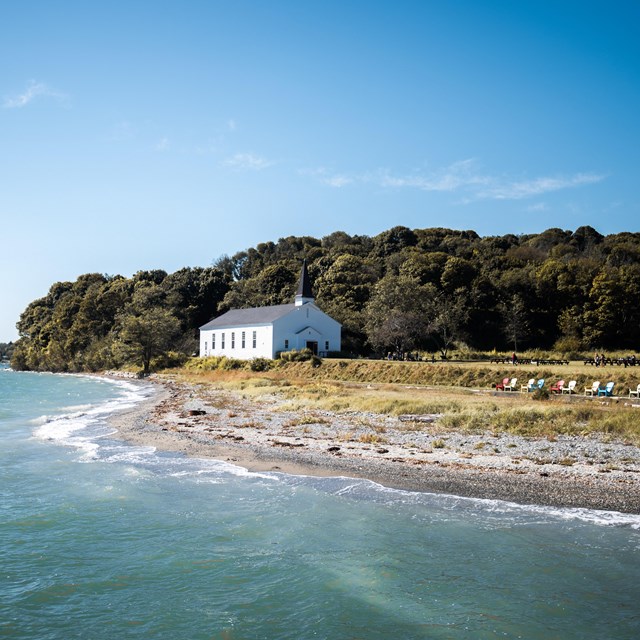
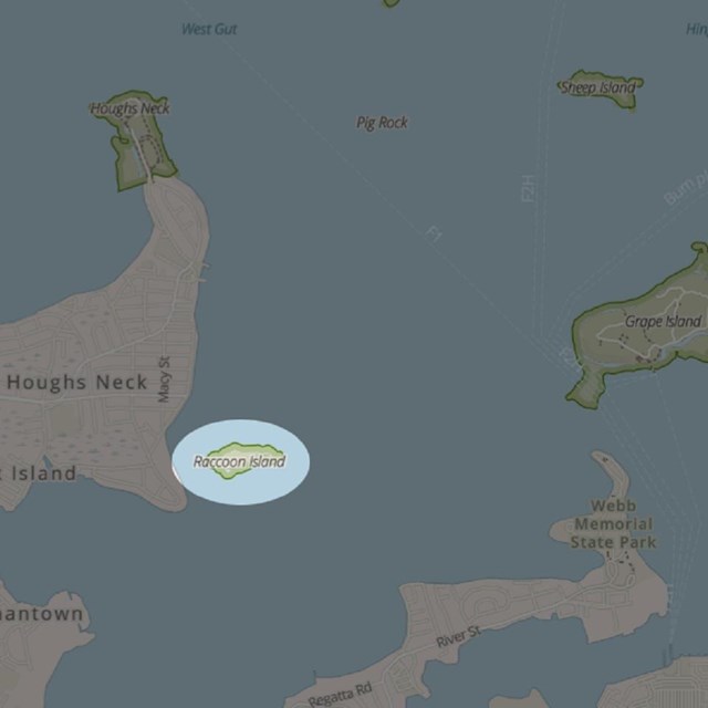
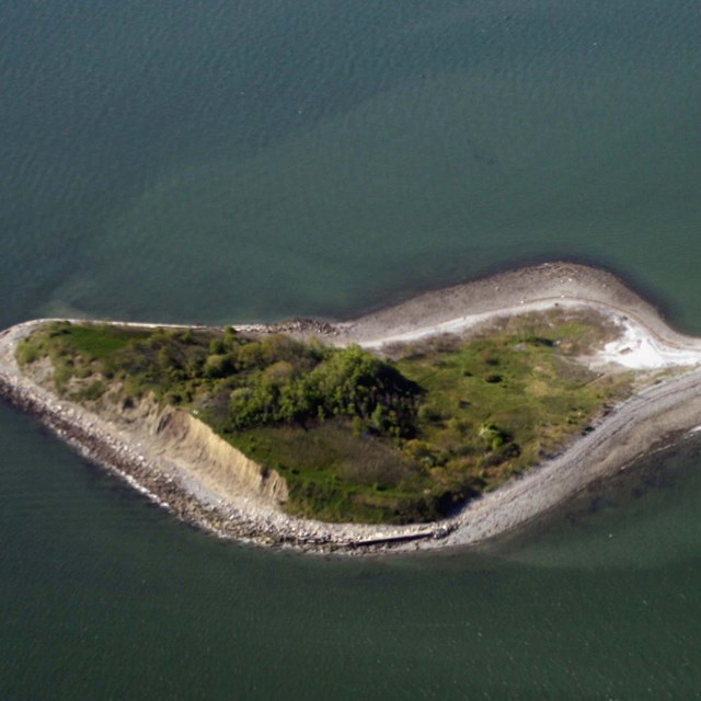
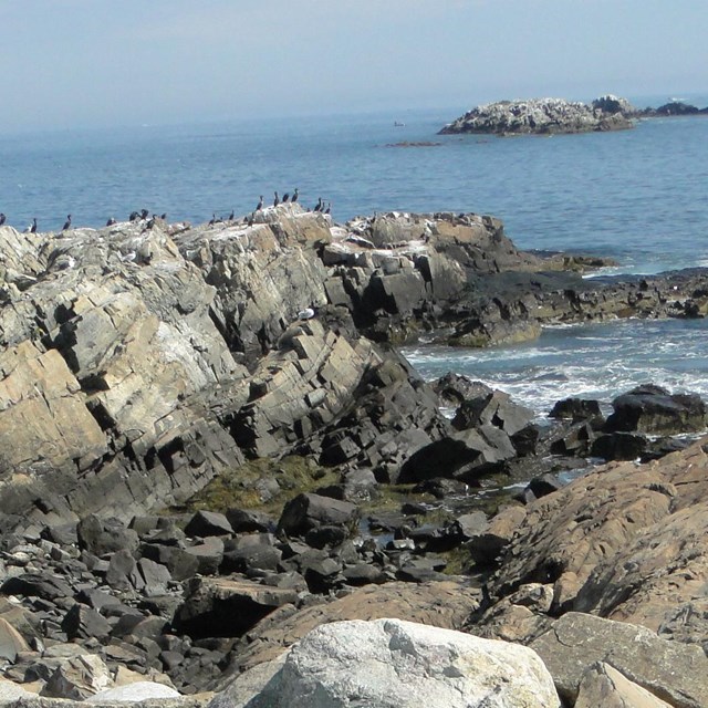
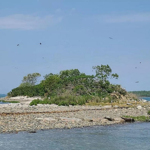
Learn about the Islands of Boston HarborExplore the map to learn the history of the Boston Harbor Islands. Choose an island below for details about each of the islands in the park. The Islands
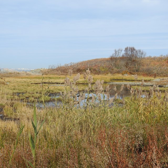
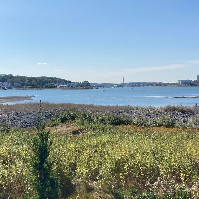
The sizes of the islands in the park change every hour, as the ocean tides ebb and flow on their shores. All totaled, the park islands change from 1,483 to 3,067 acres during the tidal cycle. Learn how island acreage was measured, considering daily tides.
The names of several islands have also changed over time. How we selected the spelling of island names, and alternate names for some islands, are described in, "What's in a name?" |

Last updated: September 6, 2024