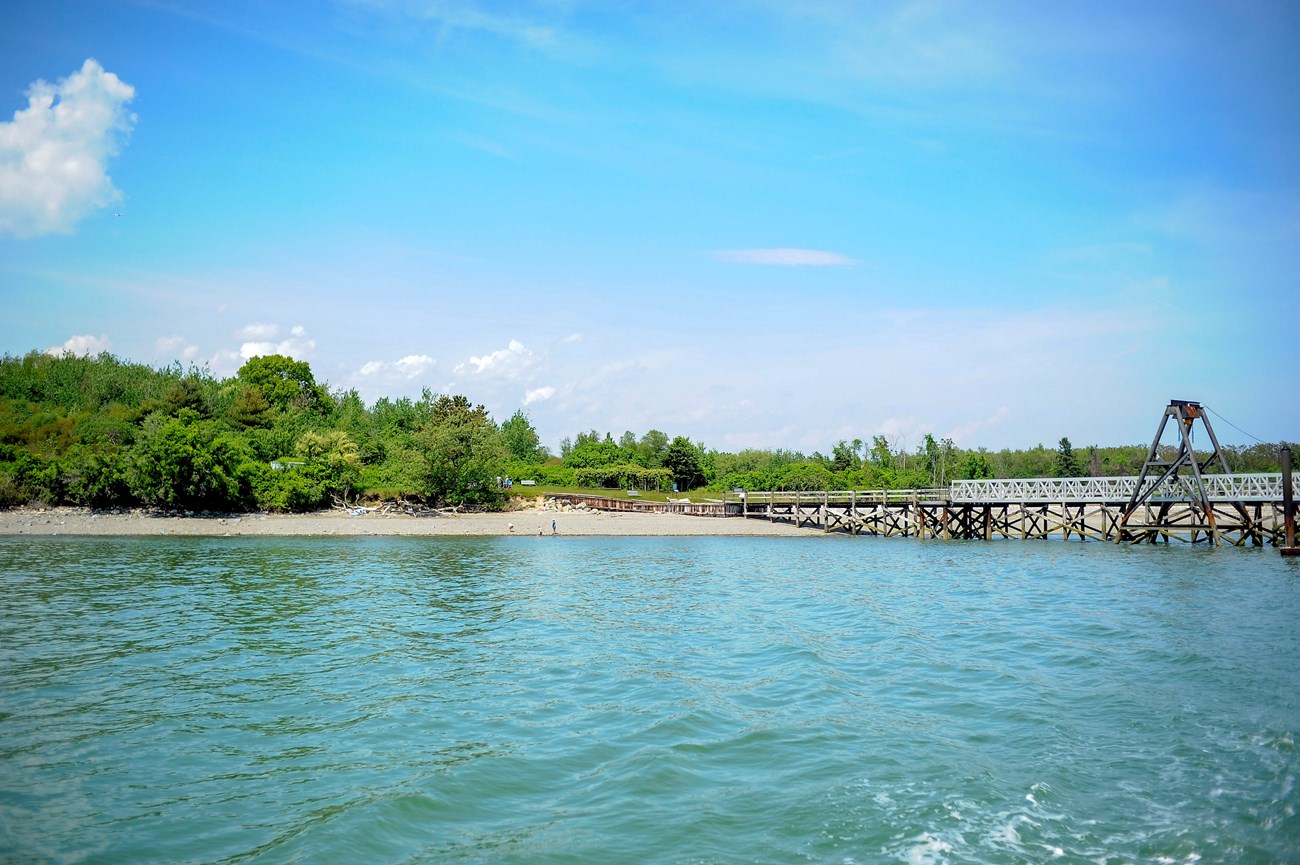
NPS Photo Wander peaceful trails, explore the rocky beaches, and enjoy camping in wooded campsites. Today, 54-acre Grape Island is a wildlife haven. Wild berries can be found in abundance, providing food for a wide variety of birds. The island almost doubles in size to 101 acres at low tide. Grape Island also features camp sites, picnic areas, and wooded trails. General InformationThis island of Boston Harbor Islands National and State Park is managed by Massachusetts Department of Conservation & Recreation (DCR). Visitor Facilities & Services
Short HistoryPrior to European settler colonization, Indigenous peoples may have cultivated the island. Euro-Americans farmed and grazed the island for three hundred years, up until the 1940s. Since the abandonment of agricultural use in the 1940s, the natural succession of vegetation has created a wooded and shrubby landscape. Grape never hosted any military fortifications, though in 1775 it was a site of a skirmish over hay during the War of Independence known as the "Battle of Grape Island" or "Grape Island Alarm." Natural History OverviewVegetationOne willow tree survives from the island's early 1900s agricultural use. Early successional tree and shrub species predominate on the drumlins: staghorn sumac (Rhus typhina), gray birch (Betula populifolia), and quaking aspen (Populus tremuloides). The island has an abundance of berries: blackberry, dewberry, raspberry (Rubus sp.) blueberry (Vaccinium), huckleberry, and elderbrry (Sambucus canadensis). A reconfiguration of the island over the past ten years by wave action has reduced the intrusion of saltwater into the island's marshy lowland which contains salt tolerant species: salt-spray rose (Rosa rugosa), cordgrass, purple loosestrife, honeysuckle and seaside goldenrod. An arbor with grapes (Vitus sp.) was installed by DEM near the pier. Vegetation is managed on paths, drumlin summits, and campsites for circulation and views. WildlifePlease see Animals page for more information. GeologyThe island is composed of two drumlins, reaching an elevation of 70 feet, and connected by a marshy lowland. Tidal sand spits extend from the west end towards Weymouth Neck (Webb State Park) and from the east end towards Slate Island. Water FeaturesA stone-walled well is located on the southeastern side of the island near an enormous black willow tree. Historic photographs suggest that a second well is located in the central wet area of the island, closer to the building foundation, however it has not been found. Views and VistasFrom the tops of the east and west drumlins, there are excellent views of the Blue Hills, Downtown Boston, Weymouth Neck, Hingham, Hough's Neck, Hull, and other islands including Bumpkin, Nut, Peddocks, Sheep, Slate, and Worlds End. Structures
|
Last updated: July 13, 2024
