|
Modern technology offers a wide array of opportunities to bring the resources of Big Bend to virtual visitors who may never make it to remote West Texas through images, audio, and video.
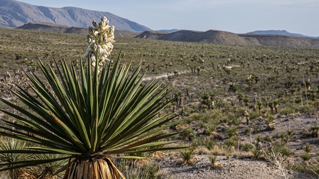
Big Bend Photo Galleries
From the top of Emory Peak to the banks of the Rio Grande, Big Bend is a photographer's delight. 
Big Bend National Park Videos
Check out Big Bend's videos for information about what to do, how to have a safe and enjoyable visit, and even explore a bit of the past. 
Webcam
Live View From Panther JunctionBig Bend is famous for wide expansive panoramas. The view from Park Headquarters is always changing, and always spectacular. The view is to the Northwest, and updated every 15 minutes. On a clear day, distant peaks over 80 miles away are clearly visible. Additional Information: NPS Air Quality Camera Webcam for Big Bend View Webcam |
Last updated: August 8, 2025