
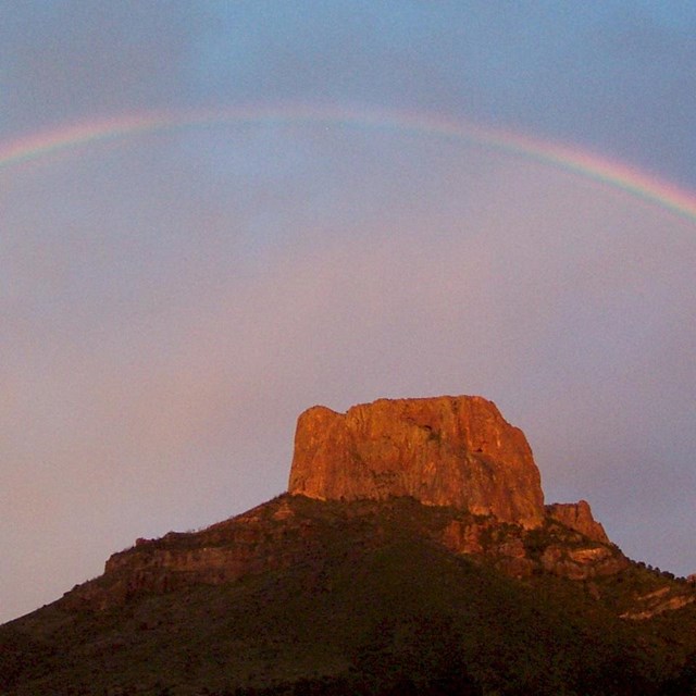
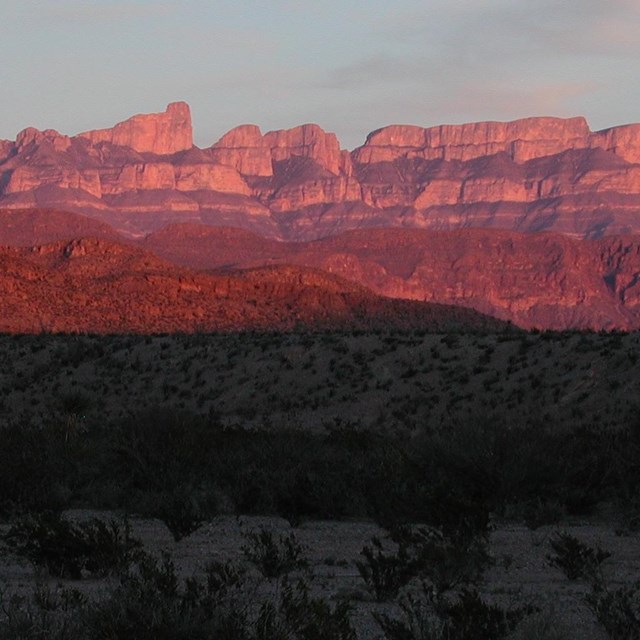
NPS Photo/Cookie Ballou How Far Can You See? On some days of the year Big Bend’s air quality is so good that visitors can actually see the detail of large objects over 100 miles away. Unfortunately, pollution is destroying the very scenic resources many people seek. Generally, park visitors find moderately hazy views on most days, with poor conditions of less than 30 miles visibility 6% of the time. On a few days of the year Big Bend experiences the worst air quality, in terms of visibility impairment, within any western national park!
Today's Air Air quality in this area varies significantly by season, with the summer season typically having the poorest visibility and winter season the best. Summer winds are from the southeast while winter winds are from the north and west. Nearly half of Big Bend’s visibility reduction is due to sulfates. During the summer, air masses arriving in this region from the southeast bring the highest concentrations of sulfates and the poorest visibility conditions. Using back-trajectory analysis, researchers can back-track prevailing wind patterns and trace the origin of pollutants. A typical summer wind pattern for Big Bend may begin two days earlier in East Texas, circulate into Louisiana, dip south along the Gulf Coast, migrate west into Mexico, and finally blow toward the northwest into this area. This wind pattern may collect, transport, and deliver such pollutants as sulfates, organic carbons, nitrates, and wind blown soil particles. Nearly half of Big Bend's visibility reduction is due to sulfates. Data suggest that sulfur emissions from nearby Texas and Mexican coal-fired power plants and industrial processes help create the white haze that often diminishes or obscures the scenic landscapes in Big Bend National Park. Trajectory maps... |
Last updated: December 13, 2018