
Laws and Policies
Learn about the rules and regulations in place for your safety and the safety of the park and its resources. 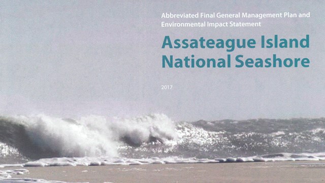
Assateague's General Management Plan
Our General Management Plan will guide Assateague Island National Seashore managers for the next 15 to 20 years in protecting the Seashore. 
Your Dollars at Work!
Your entrance fees and tax dollars support a wide variety of visitor services at Assateague Island National Seashore. South Ocean Beach Parking Area and Over-Sand Vehicle Entrance Road Reconfiguration 5-31-2022The National Park Service (NPS) is beginning a planning process for the reconfiguration of the South Ocean Beach Parking Area and Over-Sand Vehicle (OSV) Entrance Road at Assateague Island National Seashore in Maryland. The project would make the South Ocean Beach recreation area more resilient to natural coastal processes and future storm events, improve safety, and protect and enhance the visitor experience and park resources through visitor use management strategies. More info.. 2024 Superintendent's CompendiumDesignations, closures, permit requirements and other restrictions imposed under discretionary authority. Foundation Document for Assateague Island National Seashore(PDF file 4.3 MB) Finding of No Significant Impact - Parking Area Removal and Relocation(PDF file, 2.2 MB) Historic Context Study of Waterfowl Hunting Camps and Related Properties within Assateague Island National Seashore, Maryland and Virginia(PDF file, 373kb)Assateague Island National Seashore possesses numerous cultural resources. Among them are eleven identified standing “waterfowl hunting camps.” To help determine the significance of these resources, and as part of a larger Determination of Eligibility Study, Eshelman & Associates was contracted to complete a Historic Context Study. A four-phase plan was undertaken to complete this project: a) research, b) field work, c) preliminary draft and review and, d) revision and submission of final historic context study. OSV & Backcountry Users Survey(PDF file, 3.6 MB)This report describes the results of Assateague Island National Seashore’s Oversand Vehicle (OSV) and Backcountry visitor telephone survey conducted from November 2007 to January 2008. Surveys were administered to a total of 43 OSV users and Backcountry area users. The goals of this study were to (1) gather information about user attitudes regarding current management practices of the OSV zone and backcountry camping areas and (2) provide data for a more in-depth written survey to be administered following completion of this report. Feral Horse Management at Assateague Island National SeashoreAssateague Island National Seashore proposes to develop and assess the environmental consequences of several alternatives for long-term management of the Assateague feral horses.Assateague Island National Seashore Administrative HistoryInitial chapter traces events leading to seashore establishment; subsequent topical chapters address land acquisition, planning, relations with other agencies, physical development, resources management, and public use. Appendix includes legislation, personnel roster, visitation statistics. |
Last updated: December 1, 2024