War in the Pacific
Administrative History
|

|
Chapter 7:
LANDS (continued)
|
|
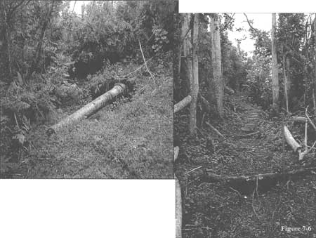
Figure 7-6. Above: one of the Piti
Japanese guns off its mount; trail leading to Piti gun emplacement.
Source: Evans-Hatch & Associates, Inc.
|
|
|
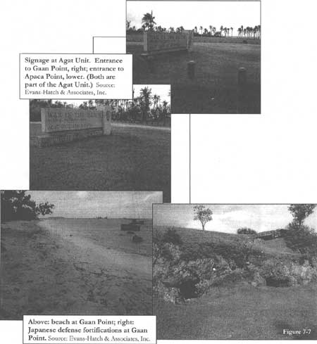
Figure 7-7. Top: Signage at Agat Unit.
Entrance to Gaan Point, right; entrance to Apaca Point, lower. (Both
are part of the Agat Unit). Bottom: Beach at Gaan Point; Japanese
defense fortifications at Gaan Point. Source: Evans-Hatch &
Associates, Inc.
|
|
|
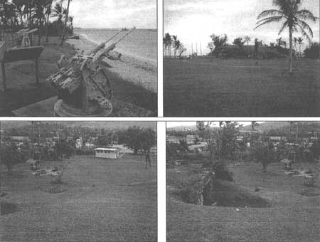
Figure 7-8. Gaan Point. Clockwise, from
upper left: looking southwest at World War II guns; looking west, bunker
mound with tourists approaching guns; looking northeast from the top of
the bunker mound; looking north from the bunker mound, the bunker's
landward opening is in the middle ground. Source: Evans-Hatch &
Associates, Inc.
|
|
|
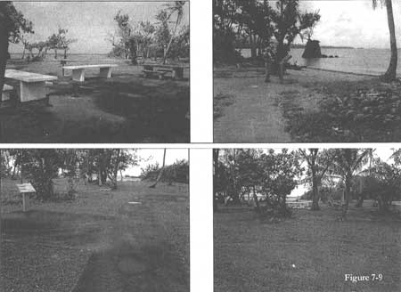
Figure 7-9. Apaca Point. Clockwise, from
upper left: Picnic area looking west toward lagoon; tourist reading
interpretive sign on beach side of picnic tables, looking southwest;
sidewalk and interpretive sign, looking west toward the lagoon; distant
view of picnic area, looking west toward lagoon. Source: Evans-Hatch
& Associates, Inc.
|
|
|
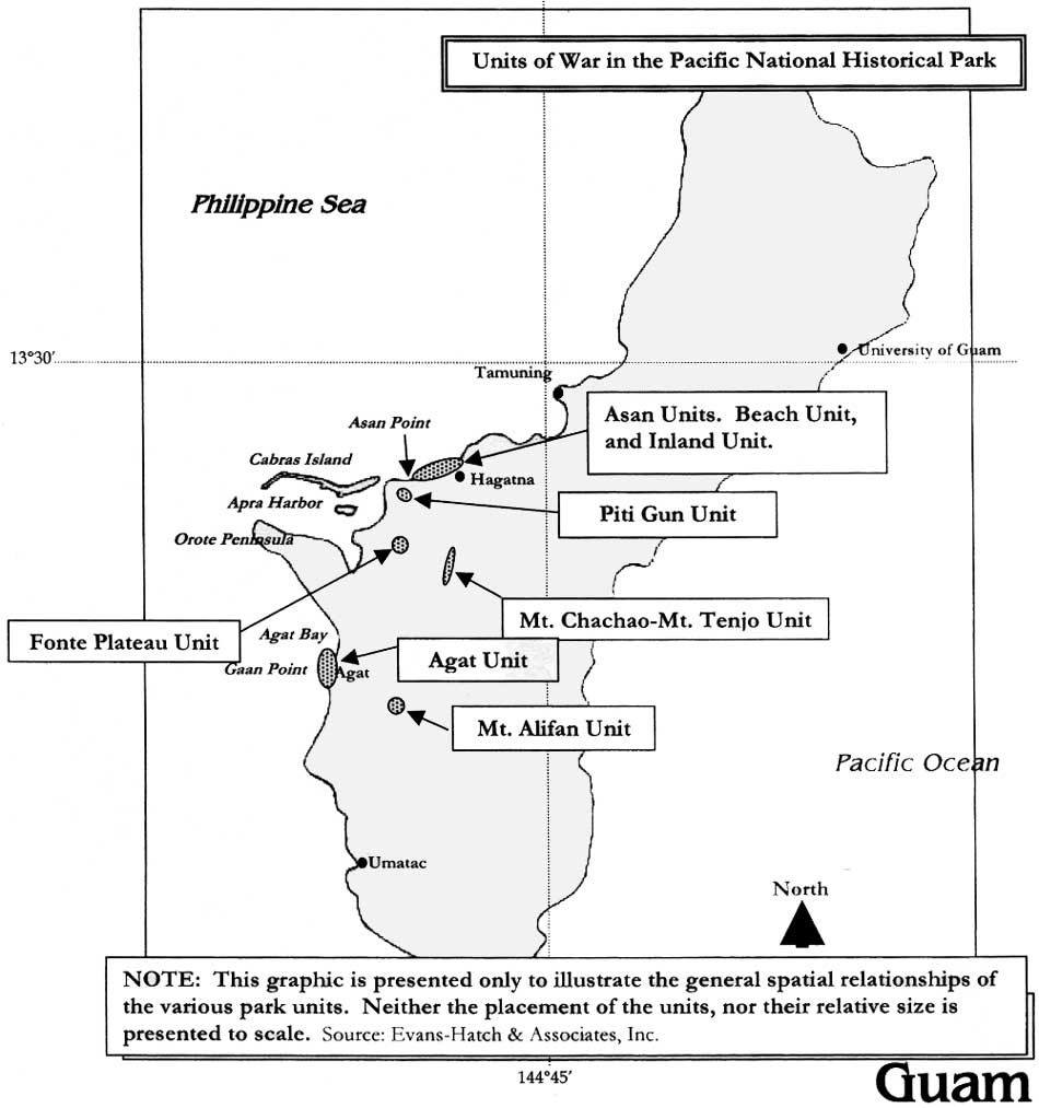
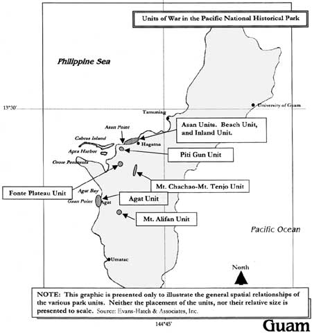
Figure 7-10. Note: This graphic is
presented only to illustrate the general spatial relationships of the
various park units. Neither the placement of the units, nor their
relative size is presented to scale. Source: Evans-Hatch &
Associates, Inc. (click on image for an enlargement in a new
window)
|
wapa/adhi/adhi7a.htm
Last Updated: 08-May-2005
|