Scotts Bluff
Administrative History
|

|
APPENDIX A:
Photographs of Scotts Bluff National Monument (continued)
|
|
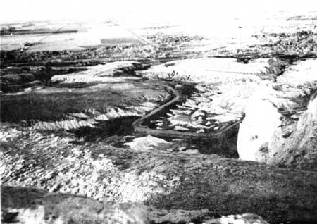
View from the summit of Scotts Bluff
National Monument looking north into the badlands below. In the distance is
the North Platte River and the communities of Scottsbluff and Gering, Nebraska.
(Photograph by Ron Cockrell)
|
|
|
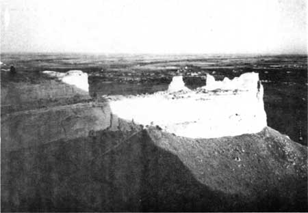
View of the long extension of Scotts Bluff
from atop the National Monument. Note the Summit Trail ascending to a small
tunnel along the route to the summit. (Photograph by Ron Cockrell)
|
|
|
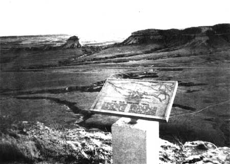
NPS bronze marker interpreting the route
of the Oregon Trail across the North Platte Valley floor below. The view
is from the summit in the area called the "South Overlook." (Photograph
by Ron Cockrell)
|
http://www.nps.gov/scbl/adhi/appa4.htm
Last Updated: 19-Jan-2003
|