|
OZARK
Ozark Rivers National Monument A Proposal |

|
RELATED PLANNING RECOMMENDATIONS
The National Monument contemplates one administrative unit and proposes no administrative jurisdiction outside its boundaries. At the same time, obviously, the Monument would play one part in the total public land management programs, Federal, State, and local, operating in this general region. Collectively, they have a common goal in sound stewardship of public interests. Clearly therefore, cooperation could pay dividends.
Specifically for example, at Eminence, Van Buren, and above Doniphan, sections of the river were purposely excluded from the Monument proposal to provide space for the growth of towns. In these excluded sections, it is recommended that, through enforced local zoning, river frontage be protected from unsightly or otherwise undesirable developments and from land practices which might cause erosion.
Anticipating increased tourist travel through this region and public enjoyment of travel through the Ozarks, special roadside treatment is considered desirable. It is recommended therefore that the State Highway Department and other public agencies administering land adjacent to highways give consideration to certain roads connecting units of the Monument—State Route 19 between a point 10 miles north of Round Spring State Park and the town of Alton; State Route 106 from a point 5 miles west of Alley Spring State Park to a point 5 miles east of the proposed Monument; and U.S. Highway 60 between its intersections with State Highways 17 and 21. This could take the form of widening rights-of-way to minimize unsightly developments, clearing for vista purposes and provision of overlooks at certain vantage points.
|
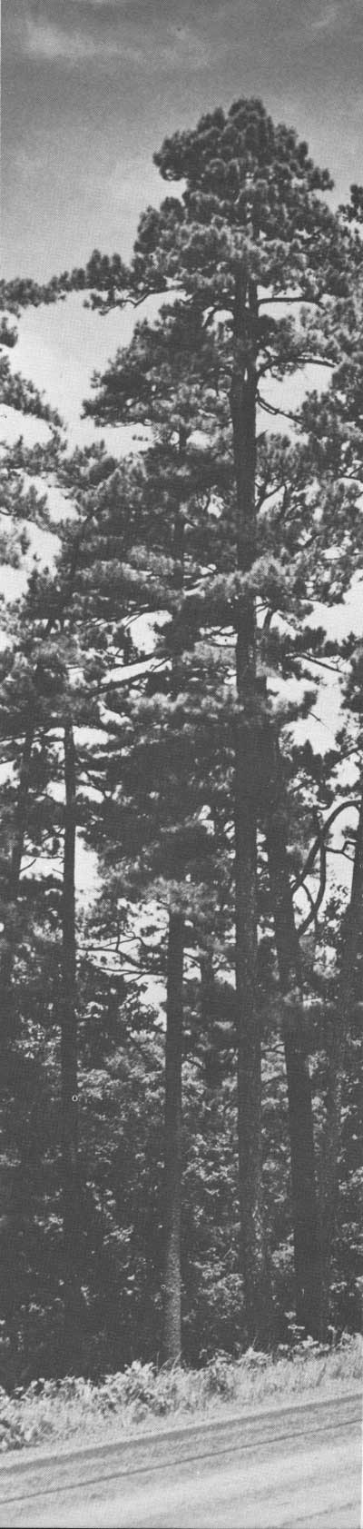
| Shortleaf Pine, reminders of early virgin stands. Walker, Missouri Resources Division |
| <<< Previous | <<< Contents>>> | Next >>> |
proposal/sec8.htm
Last Updated: 04-Nov-2009