|
Mormon Pioneer
Historic Resource Study |

|
APPENDIX A:
MAPS (continued)
|
|
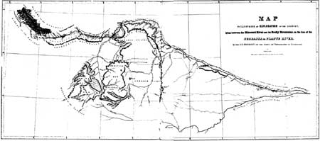
Map 3: The Fremont-Prues Map, 1843. (Source: John C. Fremont, Report of the Exploring Expedition Lying between the Missouri River and the Rocky Mountains... 1843). |
|
|
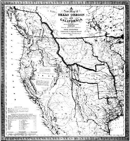
Map 4: S.A. Mitchell's New Map of Texas,
Oregon, and California, 1846. (Source: Facsimile copy. See also Wheat, Mapping the Transmississippi West, 1540-1861, vol. 3, 29 and 34-35). |
|
|
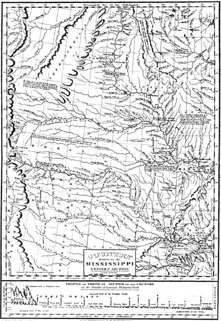
Map 5: Major S.H. Long's 1823 Map of
the Country Drained by The Mississippi. (Source: Edwin James, Account of An Expedition from Pittsburgh to the Rocky Mountains 1819-1820). |
|
|
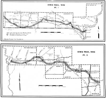
Map 6: The Mormon Trail Across Iowa, 1846. (Source: Stanley B. Kimball, Discovery Mormon Trails). |
|
|
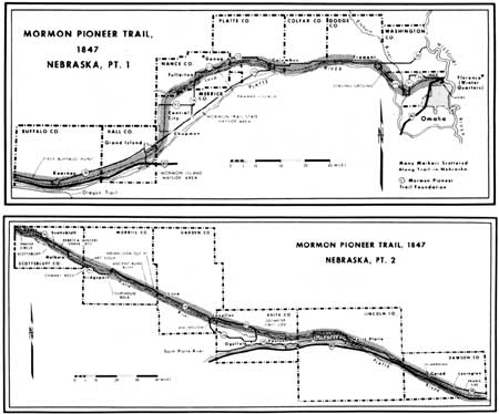
Map 7: Mormon Trail Across Nebraska, 1847. (Source: Stanley B. Kimball, Discovery Mormon Trails). |
| <<< Previous | <<< Contents >>> | Next >>> |
mopi/hrs/hrsaa1.htm
Last Updated: 08-Oct-2003