CHIRICAHUA
Historic Structure Report
Historical and Archeological Data Sections
A History of the Building and Structures of Faraway Ranch
|

|
|
II. HISTORICAL DATA SECTION
|
ILLUSTRATIONS (continued)
|
|
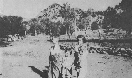
ILLUSTRATION NO. 40. Gate, low stone wall, and other
barriers, ca. 1930s (Erickson-Riggs Collection)
|
|
|
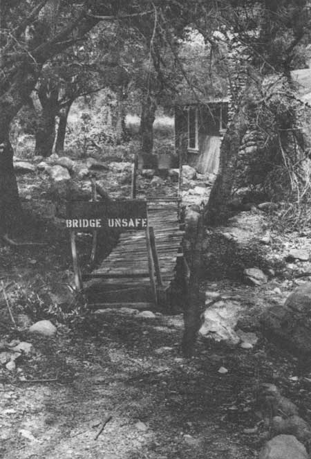
ILLUSTRATION NO. 41. Bridge over Newton's Wash, 1983
|
|
|
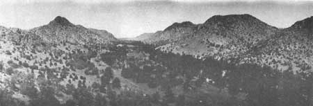
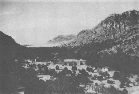
ILLUSTRATION NO. 42. Roads (main dir road
through canyon), ca. 1920s (Erickson-Riggs Collection)
|
|
|
ILLUSTRATION NO. 43. Water Tanks, 1983
|
|
|
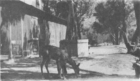
ILLUSTRATION NO. 44. Well (outside of Main
House), ca. 1930s (Erickson-Riggs Collection)
|
|
|
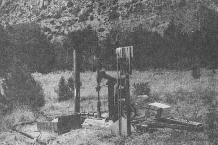
ILLUSTRATION NO. 45. Well (in Stafford's orchard), 1983
|
|
|
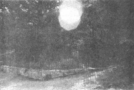
ILLUSTRATION NO. 46. Erickson Cemetery, 1983
|

|
|
ILLUSTRATION NO. 47. Prue's burial site, ca. 1933 (Erickson-Riggs Collection)
|
|
|
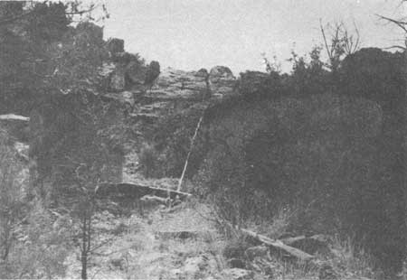
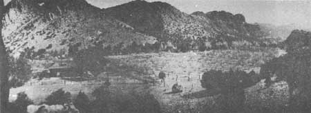
ILLUSTRATION NO. 48. Stafford's Orchard (to the east
of Main House) and other landscape, ca. 1918 (Erickson-Riggs Collection)
|
|
|
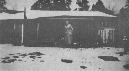
ILLUSTRATION NO. 49. Martha Riggs House (right of
center) nonextant, ca. 1950 (Erickson-Riggs Collection)
|
|
|
ILLUSTRATION NO. 50. Chicken House, ca. 1915 (Erickson-Riggs Collection)
|
chir/hsr/part2-7d.htm
Last Updated: 27-May-2008
|