|
MESA VERDE
Environment of Mesa Verde, Colorado Wetherill Mesa Studies |

|
acknowledgments
Without the contributions of many agencies and individuals this aspect of the scientific program of the Wetherill Mesa Project could not have been carried out.
First and foremost, our thanks go to the National Geographic Society, which provided financial support for the work.
We are grateful to the Ute Mountain Utes for granting permission to operate the station at the Lowest Mesa-top Site, M—1, on tribal lands.
The Institute of Arctic and Alpine Research, Boulder, Colo., organized and furnished some of the equipment for the research. Markley W. Paddock devised the initial program design and planned the instrumentation; John Clark supervised the installations; and David M. Gates, formerly of the National Bureau of Standards, Boulder Laboratories, and consultant to the Institute, assisted with the interpretation of the solar radiation data.
Appreciation is extended to William C. Bradley of the Geology Department, University of Colorado, for his advice on the section on geology and soils, and to William A. Weber of the University of Colorado herbarium for providing current plant nomenclature and for verifying critical material.
We are grateful to Harold C. Fritts and David G. Smith of the Laboratory of Tree-Ring Research, University of Arizona, for help with the data analysis. Fritts was responsible for enabling us to reduce and analyze the data through the University of Arizona's Computer Center, and made valuable suggestions in our interpretations. Smith was involved in the data handling both at Mesa Verde National Park and at Tucson. Our thanks go to him and to Thomas P. Harlan, also of the Tree-Ring Laboratory, for the dates for modern cores and burned samples collected at Park Point in Mesa Verde.
We are indebted to the Numerical Analysis Laboratory of the University of Arizona for donating computer time and for analyzing the environment data. Robert L. Baker of the Laboratory's Systems Engineering Department programed the monthly summaries.
For a better understanding of the Mesa Verde soils, and specifically for the profile descriptions of each station site, we are grateful to Orville A. Parsons of the Soil Conservation Service, Fort Collins, Colo. Parsons' reading of the manuscript is also appreciated.
Our thanks go to George A. King, architect, of Durango, Colo., who drafted the base map of Mesa Verde.
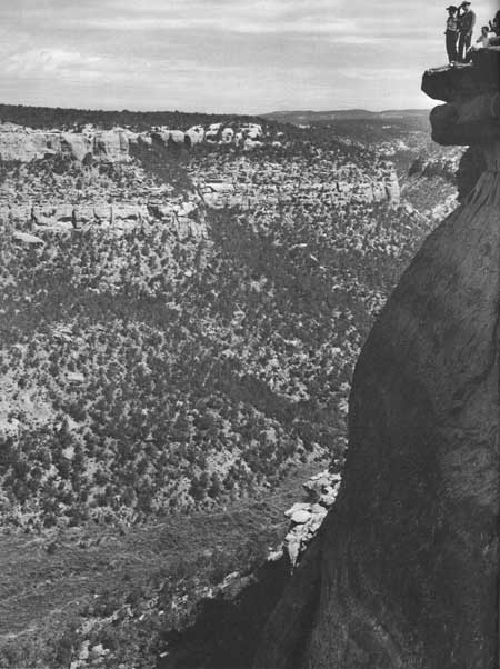
Our thanks go to the following members of the Wetherill Mesa Project staff: to laboratory assistants Pauline Goff, Natalia Ellis, and Ruth Chappell for data handling and preliminary analysis; to Marilyn Colyer for her help in the field on vegetation analysis and for the preparation of the graphs; and to project photographer Fred E. Mang, Jr., whose pictures were often taken under less-than-ideal conditions and from some rather hazardous spots. His sense of the fitting, yet dramatic, photograph gives our report a dimension it would not otherwise have had.
This publication is Contribution 41 of the Wetherill Mesa Project.
J. A. E., C. L. D., and J. W. M.
| <<< Previous | <<< Contents>>> | Next >>> |
archeology/7b/ack.htm
Last Updated: 16-Jan-2007