|
ACADIA
The Coastal Setting, Rocks, and Woods of the Sieur de Monts National Monument Sieur de Monts Publications IV |

|
THE GEOLOGY OF MOUNT DESERT
Condensed by GEORGE B. DORR from a Government report by
NATHANIEL S. SHALER and later study by WILLIAM MORRIS DAVIS.
[Statement approved by the U.S. Geological Survey.]
THE mountains of the Mount Desert range are by far the highest of the many mountainous hills that rise above the rolling lowland of southern and southeastern Maine. Long ago this lowland, far more extensive seaward then, was tilted toward the south until its southern portion passed beneath the ocean, to form the platform of the Gulf of Maine, while its northern portion gradually ascended inland till it finally took on in the interior the character of a plateau. The tilted lowland, in the portion that remained above the ocean level, became scored by numerous stream-cut valleys, following down its gentle slope toward the sea; since these were excavated the coastal region has again been slightly lowered, carrying the whole shore line farther inland, changing many a land valley into a long sea arm and isolating many a hilltop as an outlying island. Associated with this later change of level there came a period of arctic climate which covered the region with a deep sheet of ice such as that which holds possession now of Greenland—then less arctic than New England possibly. The slow southward and seaward flow of this vast mass of frozen water stripped from the land its ancient soil, wore down the hills, deepened the valleys, and pushed the accumulated débris before it to form the present fishing banks upon the ancient coastal plain, the Cape Cod sands, and the deep gravels of Long Island, besides blocking on its way the course of innumerable streams and damming them to create the myriad lakes and meadowlands which make Maine famous now as one of the greatest inland fishing regions in the world.
The lowland from which the mountainous hills of Maine rise up is not, like the coastal lowlands to the southward of Cape Cod, a recently emerged sea bottom, still for the most part as smooth as when the ocean covered it. It is low in spite of having been strongly uplifted long ago; it is low because the ancient alpine heights that occupied it once have been worn down by age-long denudation and have slowly wasted away under the ceaseless attack of the atmosphere.
| (Omitted from the online edition) |
|
Copyright by National Geographic Society. Rock formed by coastal deposit in an ancient ocean at a period antedating any present trace of life on land. The strata formed by seasonal rains are still plainly to be seen in the foreground; the cliff beyond, of more resistant character, has been molten, compressed, and hardened by volcanic agencies. |
|
| Pegmatite dike filling a rift in the granite of Pemetic Mountain. |
The boldly uplifted range of Mount Desert is one of the most stubborn survivors of that ancient highland, and the beauty of the island as seen from the sea, unparalleled along our whole Atlantic coast, is due to its persistent retention of some portion of the height which the whole region once had but which nearly every other part of it has lost.
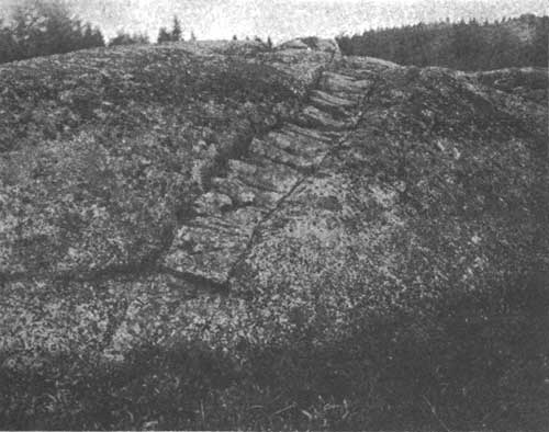
Although the noble granitic rocks that form this range rest quiet and cold in their age to-day, they were once hot and energetic, pressing their way upward, as a vast molten mass, toward—and overflowing possibly—the ancient surface of the land. The massive granite stretches east and west across the island, inclosed wherever the attack of ice or sea has failed to lay it bare by rocks of a wholly different origin and character. At first these other rocks are seen as isolated fragments included in the granite; the fragments then become more frequent until solid rock of their own type, strangely twisted and contorted, begins to take the granite's place, as in the wonderful displays at Great Head and Hunter's Beach Head; further on, the granite is only seen penetrating these other rocks in long, narrow crevices, as on Sutton Island; at last it ceases entirely, and the rocky floor, wherever it can be observed, is wholly formed by rocks like those first seen as fragments caught and frozen in the cooling granite. Near the margin of its area, again, the granite is finer textured than where erosion has laid bare its ancient depths, as in the mountain gorges; for it is the way of igneous, or fire-formed, rocks when crystallizing from a molten state to develop smaller crystals and finer texture near their boundaries, where the cooling is more rapid.
This fine texture of the margin of the granite, the inclusion of angular and freshly broken fragments of the regional rocks within its borders, and the penetration of the regional rocks themselves by narrowing granitic arms or dikes, clearly show that the granite is the later comer, and that it came molten, breaking its way with tremendous power into the ancient rocky crust under some vast, compelling pressure; at last, when the impelling forces were satisfied, it came to a halt and slowly froze into a rigid mass, holding in its grasp innumerable fragments gathered from the rent and fractured walls, whose cracks it fills.
This granitic outburst is the greatest event in the geologic history of Mount Desert. It was of colossal magnitude. The energy of its intrusion can not be conceived. Not that the intrusion was suddenly accomplished, for no conjecture can be made as to the time it took, but that it was effected against enormous resistances and involved the movement of gigantic masses.
The granite mass disclosed in these ancient monuments of the geologic past is at least a dozen miles in length and four or five in breadth at widest, with roots far wider spread beneath the level of the present surface. No one can give a measure of the greater height to which it once ascended, and he would be a daring geologist who would set a limit to the unsounded depths from which it rose. The uprising may have required many historic ages; it may have been relatively rapid; but that it was progressive, not instantaneous, is dearly to be seen upon examination of the granite margins.
The bare ledges and cliffs of the southeastern coast especially afford wonderfully clear illustrations of the molten stone's intrusive processes. Here we may follow the upward-driven granite forcing its way into narrowing cracks among the older rocks; there great fragments of the older rocks have been caught up in it and partly melted by its heat perhaps. Sometimes a block of the ancient regional stone may be seen divided by granite-filled fissures whose fractured walls can still be matched with certainty, striking instances of which are shown on the eastern side in the narrows of the Somes Sound fiord. The now rigid granite then yielded so perfectly under the heat and tremendous pressures acting on it as to penetrate the narrowest cracks and crevices, following them down to hairlike fineness. Nowhere in the world, indeed, may the geologist or traveler find better or more impressive illustration of the manifold processes of deep-seated intrusion than on the wave-swept ledges of the island's southern coast between Somes Sound and Frenchmans Bay.
| <<< Previous | Next >>> |
sieur_de_monts/4/sec3.htm
Last Updated: 24-Mar-2010