![[graphic] Ohio and Erie Canal National Heritage Corridor: A National Register of Historic Places Travel Itinerary](graphics/ohioeriecanal-header7_r1_c1.gif "[graphic] Ohio and Erie Canal National Heritage Corridor: A National Register of Historic Places Travel Itinerary") |
|||||||||||||||
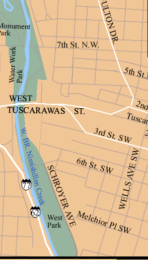
Map of Canton
|
|||||||||||||||||||||||||||||||||||||||||||||||||||||||||||||
|
Click here to be directed to a Bing map of this travel itinerary's sites to get directions including street addresses and coordinates.
|
|||||||||||||||||||||||||||||||||||||||||||||||||||||||||||||


![[graphic] Rotating Postcard Images](graphics/ohioeriecanal-footer5_r2_c2.gif "[graphic] Rotating Postcard Images") |
 |
||||||||||
Canal Home | List of Sites | Maps| Learn More |
Itineraries | NR Home | Next Site
Essays: Transportation | Ethnicity| Industry| Preservation